Randonnée Marche Rethondes - en forêt de Laigue_1_le Grand Octogone - Photo

en forêt de Laigue_1_le Grand Octogone

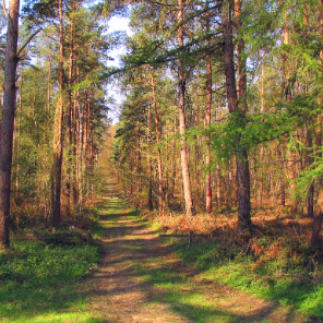
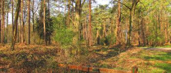
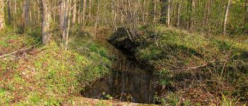
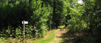
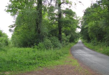
vive la rando en forêt

© OpenStreetMap contributors
Longueur
Longueur
16,9 km
Altitude max
Altitude max
127 m
Dénivelé positif
Dénivelé positif
241 m
Km-Effort
Km-Effort  
20 km
Altitude min
Altitude min
33 m
Dénivelé négatif
Dénivelé négatif
240 m
Boucle
Boucle
Oui
Date de création :
2019-04-11 07:38:40.0
Dernière modification :
2020-11-08 10:10:13.784

(0 Avis)

Marche
Marche
5h06
Difficulté : Difficile

Scannez ce code QR pour ouvrir la randonnée dans l'application SityTrail

Application GPS de randonnée GRATUITE

Logo SityTrail SityTrail

IGN / Instituts géographiques

Télécharger SityTrail sur l'App Store Télécharger SityTrail sur Google Play

Logo SityTrail SityTrail World

Le monde est à vous

Télécharger SityTrail sur l'App Store Télécharger SityTrail sur Google Play Télécharger SityTrail sur Huawei AppGallery

À propos

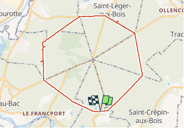
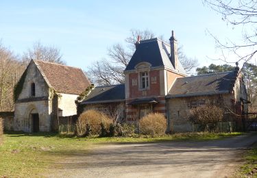
Randonnée Marche de 16,9 km à découvrir à Hauts-de-France, Oise, Rethondes. Cette randonnée est proposée par en forêt de Laigue.

Description

voir aussi mes blogs:
https://foret-de-laigue.over-blog.com/2019/08/randonnee-en-foret-de-laigue_le-grand-octogone.html
ma communauté :https://www.sitytrail.com/fr/communities/1153-en-foret-de-laigue/

04/ 2019
Batterie pour iphone indispensable.

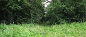
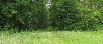
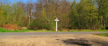
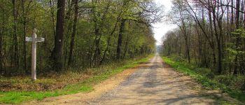
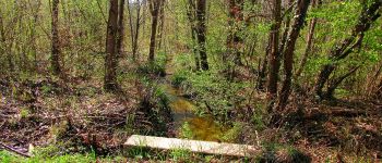
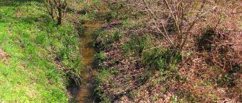
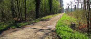
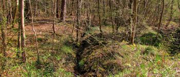
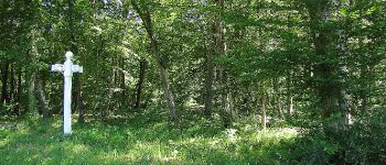
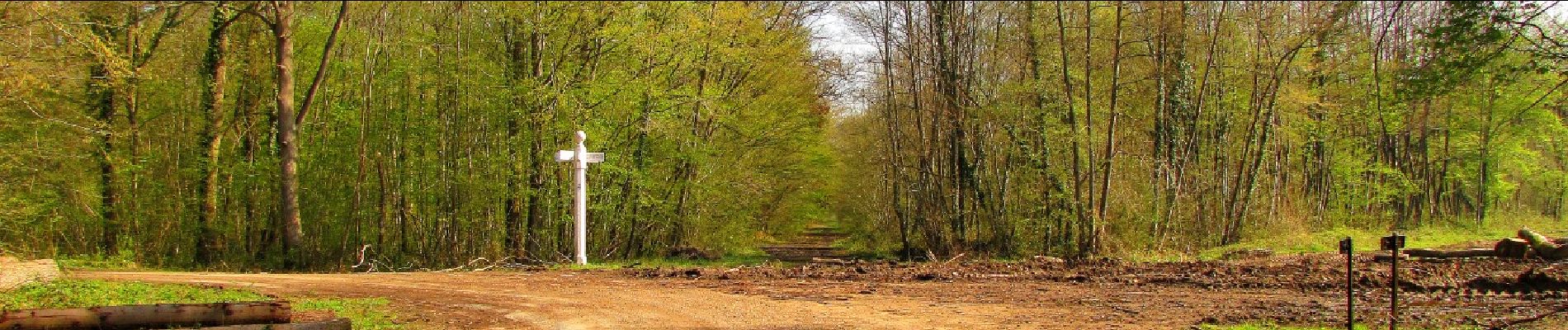
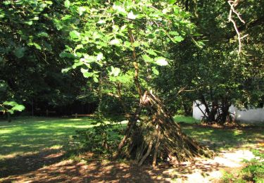
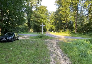
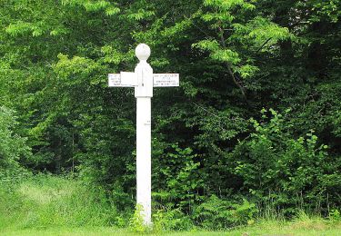
Au départ du carrefour du Vivier du Grès, faire le Grand Octogone en tournant dans le sens des aiguilles d'une montre. Passage au chêne aux Mares prés du carrefour du Plessis-Brion.
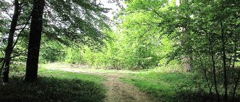
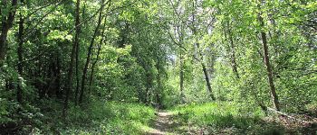
Profil altimétrique

Points d'intérêt

Point d'intérêt Rethondes - Point 1 - Photo
JeanLucA4
RETHONDES 
Point d'intérêt Rethondes - Point 2 - Photo
JeanLucA4
RETHONDES 
Point d'intérêt Rethondes - Point 11 - Photo
JeanLucA4
RETHONDES 
Point d'intérêt Choisy-au-Bac - Point 5 - Photo
JeanLucA4
CHOISY-AU-BAC 
Point d'intérêt Choisy-au-Bac - Point 5 - Photo
JeanLucA4
CHOISY-AU-BAC 
Point d'intérêt Choisy-au-Bac - Point 6 - Photo
JeanLucA4
CHOISY-AU-BAC 
Point d'intérêt Choisy-au-Bac - Point 6 - Photo
JeanLucA4
CHOISY-AU-BAC 
Point d'intérêt Choisy-au-Bac - Point 8 - Photo
JeanLucA4
CHOISY-AU-BAC 
Point d'intérêt Le Plessis-Brion - Point 9 - Photo
JeanLucA4
LE PLESSIS-BRION 
Point d'intérêt Le Plessis-Brion - Point 22 - Photo
JeanLucA4
LE PLESSIS-BRION 
Point d'intérêt Le Plessis-Brion - Point 11 - Photo
JeanLucA4
LE PLESSIS-BRION 
Point d'intérêt Le Plessis-Brion - Point 12 - Photo
JeanLucA4
LE PLESSIS-BRION 
Point d'intérêt Le Plessis-Brion - Point 12 - Photo
JeanLucA4
LE PLESSIS-BRION 
Point d'intérêt Le Plessis-Brion - Point 13 - Photo
JeanLucA4
LE PLESSIS-BRION 
Point d'intérêt Le Plessis-Brion - Point 20 - Photo
JeanLucA4
LE PLESSIS-BRION 
Point d'intérêt Le Plessis-Brion - Point 21 - Photo
JeanLucA4
LE PLESSIS-BRION 
Point d'intérêt Le Plessis-Brion - Point 15 - Photo
JeanLucA4
LE PLESSIS-BRION 
Point d'intérêt Montmacq - Point 16 - Photo
JeanLucA4
MONTMACQ 
Point d'intérêt Saint-Léger-aux-Bois - Point 17 - Photo
JeanLucA4
SAINT-LÉGER-AUX-BOIS 
Point d'intérêt Saint-Léger-aux-Bois - Point 18 - Photo
JeanLucA4
SAINT-LÉGER-AUX-BOIS 
Point d'intérêt Saint-Léger-aux-Bois - Point 19 - Photo
JeanLucA4
SAINT-LÉGER-AUX-BOIS 
Point d'intérêt Saint-Léger-aux-Bois - Point 20 - Photo
JeanLucA4
SAINT-LÉGER-AUX-BOIS 
Point d'intérêt Saint-Léger-aux-Bois - Point 21 - Photo
JeanLucA4
SAINT-LÉGER-AUX-BOIS 
Point d'intérêt Saint-Léger-aux-Bois - Point 22 - Photo
JeanLucA4
SAINT-LÉGER-AUX-BOIS 
Point d'intérêt Saint-Léger-aux-Bois - Point 23 - Photo
JeanLucA4
SAINT-LÉGER-AUX-BOIS 
Point d'intérêt Saint-Léger-aux-Bois - Point 25 - Photo
JeanLucA4
SAINT-LÉGER-AUX-BOIS 
Point d'intérêt Saint-Léger-aux-Bois - Point 26 - Photo
JeanLucA4
SAINT-LÉGER-AUX-BOIS 
Point d'intérêt Saint-Léger-aux-Bois - Point 27 - Photo
JeanLucA4
SAINT-LÉGER-AUX-BOIS 
Point d'intérêt Tracy-le-Mont - Point 28 - Photo
JeanLucA4
TRACY-LE-MONT 
Point d'intérêt Tracy-le-Mont - Point 29 - Photo
JeanLucA4
TRACY-LE-MONT 
Point d'intérêt Tracy-le-Mont - Point 30 - Photo
JeanLucA4
TRACY-LE-MONT 
Point d'intérêt Tracy-le-Mont - Point 31 - Photo
JeanLucA4
TRACY-LE-MONT 
Point d'intérêt Tracy-le-Mont - Point 8 - Photo
JeanLucA4
TRACY-LE-MONT 
Point d'intérêt Tracy-le-Mont - Point 21 - Photo
JeanLucA4
TRACY-LE-MONT 
Point d'intérêt Tracy-le-Mont - Point 22 - Photo
JeanLucA4
TRACY-LE-MONT 
Point d'intérêt Saint-Crépin-aux-Bois - Point 18 - Photo
JeanLucA4
SAINT-CRÉPIN-AUX-BOIS 
Point d'intérêt Saint-Crépin-aux-Bois - Point 36 - Photo
JeanLucA4
SAINT-CRÉPIN-AUX-BOIS 
Point d'intérêt Saint-Crépin-aux-Bois - Point 28 - Photo
JeanLucA4
SAINT-CRÉPIN-AUX-BOIS 

Localisation

Pays :
France
Région :
Hauts-de-France
Département/Province :
Oise
Commune :
Rethondes
Localité :
Unknown
Départ:(Dec)
Départ:(UTM)
496147 ; 5475920 (31U) N.

Randonnées à proximité

Randonnée Marche Choisy-au-Bac - en forêt de Laigue_9_06_2020_Chemin du Fau Bidaud et la Route de Royaumont - Photo
Marche

Marche

Très difficile
(1)
Choisy-au-Bac, Hauts-de-France, Oise, France
9,6 km | 12,8 km-effort
3h 0min
Oui
Randonnée Marche Rethondes - en forêt de Laigue_4_08_2019_Mont du Fouilleux_Mont des Singes_Marais de Francière - Photo
Marche

Marche

Très difficile
(1)
Rethondes, Hauts-de-France, Oise, France
14,8 km | 17,7 km-effort
4h 49min
Oui
Randonnée Marche Compiègne - Compiegne rond point de l’Armistice 13,4 km - Photo
Marche
GUIDE
rvapeldo

Marche

Facile
Compiègne, Hauts-de-France, Oise, France
13,4 km | 17,5 km-effort
3h 36min
Oui
Randonnée Marche Compiègne - en forêt de Compiègne_47_autour des Beaux Monts - Photo
Marche

Marche

Moyen
Compiègne, Hauts-de-France, Oise, France
4,8 km | 6,4 km-effort
1h 27min
Non
Randonnée A pied Vieux-Moulin - Promenade de Vieux moulin - Photo
A pied
PRO

A pied

Facile
Vieux-Moulin, Hauts-de-France, Oise, France
5,3 km | 7,4 km-effort
1h 40min
Oui
Randonnée A pied Compiègne - Promenade du Point de Vue des beaux Monts - Photo
A pied
PRO

A pied

Facile
Compiègne, Hauts-de-France, Oise, France
3,1 km | 3,8 km-effort
51min
Oui
Randonnée Marche Rethondes - en forêt de Laigue_15_07_2021_autour du Mont du Fouilleux et du Mont des Singes - Photo
Marche

Marche

Difficile
Rethondes, Hauts-de-France, Oise, France
11,3 km | 14,6 km-effort
3h 24min
Oui
Randonnée Marche Vieux-Moulin - en foret de Compiègne_38_07_2021_sur la Route Eugénie - Photo
Marche

Marche

Facile
Vieux-Moulin, Hauts-de-France, Oise, France
13,6 km | 15,5 km-effort
4h 6min
Oui
Randonnée Marche Saint-Crépin-aux-Bois - en forêt de Laigue_10_06_2021_la Malmère_Cercle en ciel - Photo
Marche

Marche

Très difficile
Saint-Crépin-aux-Bois, Hauts-de-France, Oise, France
15,5 km | 17,3 km-effort
4h 24min
Oui


Fermer
Mes abonnements