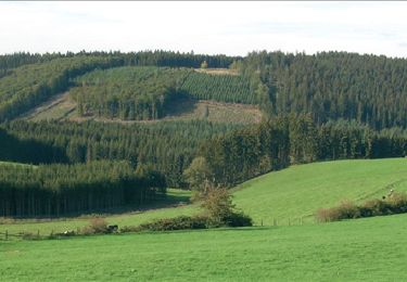
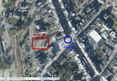
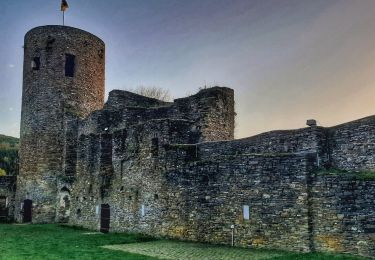
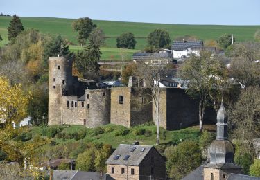
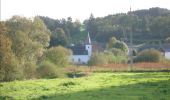
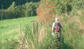
Randonnée Marche Saint-Vith - RB-Lg-08_Lommersweiler_via-racc - Photo

RB-Lg-08_Lommersweiler_via-racc

Randonnez sur et autour des GR ® wallons (Sentiers de Grande Randonnée). PRO

© OpenStreetMap contributors
Longueur
Longueur
16,3 km
Altitude max
Altitude max
517 m
Dénivelé positif
Dénivelé positif
407 m
Km-Effort
Km-Effort  
22 km
Altitude min
Altitude min
352 m
Dénivelé négatif
Dénivelé négatif
403 m
Boucle
Boucle
Oui
Date de création :
2019-08-07 07:26:18.219
Dernière modification :
2023-10-26 06:38:43.183

(2 Avis)

Marche
Marche
4h55
Difficulté : Très difficile

Scannez ce code QR pour ouvrir la randonnée dans l'application SityTrail

Application GPS de randonnée GRATUITE

Logo SityTrail SityTrail
IGN / Instituts géographiques

Télécharger SityTrail sur l'App Store Télécharger SityTrail sur Google Play

Logo SityTrail SityTrail World

Le monde est à vous

Télécharger SityTrail sur l'App Store Télécharger SityTrail sur Google Play Télécharger SityTrail sur Huawei AppGallery

À propos

Randonnée Marche de 16,3 km à découvrir à Wallonie, Liège, Saint-Vith. Cette randonnée est proposée par GR Rando.

Description

Dans le décor quasi-alpestre de la vallée de l’Our et de la région des Trois Frontières

Lommersweiler – Hemmeres – Auel – Maspelt – Neidingen - Lommersweiler

Cartographie et documentation :
Carte IGN au 1 : 20 000, 56/7-8 « Burg-Reuland – Gross-Bohlscheid ».
Carte IGN de promenades au 1 : 25 000 « » (Tou. 0088)
Topo-guide du GR 56 « Cantons de l’Est et Parc naturel Hautes Fagnes – Nord-Eifel ».

Où se désaltérer et se restaurer :
Il faudra vous rabattre sur la ville de Saint-Vith qui n’est qu’à quelques kilomètres.

Infos touristiques :
Syndicat d’Initiative de Saint-Vith : www.st.vith.be
« Musée de la vie rurale » à 4780 Saint-Vith, Schwarzer Weg, 6 – www.zvs.be
« Musée de la Bière de Rodt », Rodt 89A, 4784Saint-Vith, www.biermuseum.be

Photos

Points d'intérêt

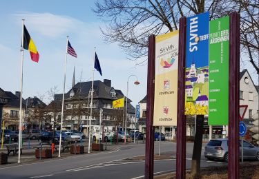
Point d'intérêt Saint-Vith - Neidingen - Photo
GR Rando
SAINT-VITH 
Point d'intérêt Saint-Vith - Lommersweiler - Photo
GR Rando
SAINT-VITH 
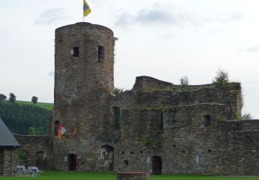
Point d'intérêt Burg-Reuland - Neumühle - Hemmeres - Photo
GR Rando
BURG-REULAND 
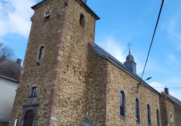
Point d'intérêt Burg-Reuland - Auel - Photo
GR Rando
BURG-REULAND 
Point d'intérêt Burg-Reuland - Thuya - Photo
GR Rando
BURG-REULAND 
Point d'intérêt Burg-Reuland - Pavillon sur la route Bracht - Maspelt - Photo
GR Rando
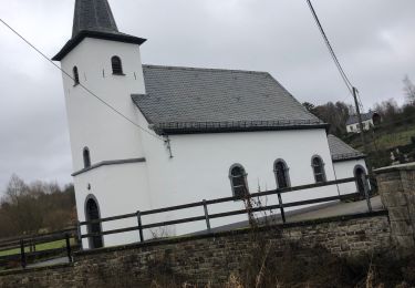
Point d'intérêt Burg-Reuland - Maspelt - Photo
GR Rando
BURG-REULAND 
Point d'intérêt Saint-Vith - Roderhart - Photo
GR Rando
SAINT-VITH 
Point d'intérêt Saint-Vith - Croix ancienne - Photo
GR Rando
SAINT-VITH 

Localisation

Pays :
Belgique
Région :
Wallonie
Département/Province :
Liège
Commune :
Saint-Vith
Localité :
Unknown
Départ:(UTM)
297839 ; 5569053 (32U) N.

Commentaires

Veuillez vous connecter pour laisser un commentaire ou une note


Début de parcours sur un Ravel monotone et sans intérêt mais la suite est superbe sur de jolis chemins et sentiers campagnards. Magnifiques paysages. Et une belle fin de parcours 👌. Merci les SGR.


Randonnées à proximité

Randonnée Marche Saint-Vith - St Vith - Photo
Marche
GUIDE
mumu.larandonneuse

Marche

Facile
(1)
Saint-Vith, Wallonie, Liège, Belgique
16,1 km | 19,5 km-effort
4h 26min
Oui
Randonnée Marche Saint-Vith - RB-Lg-08_Lommersweiler - Photo
Marche
PRO

Marche

Très difficile
(3)
Saint-Vith, Wallonie, Liège, Belgique
21 km | 28 km-effort
6h 18min
Oui
Randonnée Marche Saint-Vith - 20230103 - TOTEMUS Saint-Vith - 6.7 Km - Photo
Marche
GUIDE
pierreh01

Marche

Moyen
(1)
Saint-Vith, Wallonie, Liège, Belgique
6,7 km | 8,9 km-effort
2h 7min
Oui
Randonnée Marche Burg-Reuland - Balade à Burg-Reuland - Photo
Marche
GUIDE
Desrumaux

Marche

Difficile
Burg-Reuland, Wallonie, Liège, Belgique
13,4 km | 17,2 km-effort
6h 40min
Oui
Randonnée Marche Burg-Reuland - 20221027 - TOTEMUS Burg-Reuland - 5.2 Km - Photo
Marche
GUIDE
pierreh01

Marche

Moyen
Burg-Reuland, Wallonie, Liège, Belgique
5,2 km | 7,2 km-effort
2h 52min
Oui
Randonnée Marche Saint-Vith - St-Vith - Photo
Marche
GUIDE
mumu.larandonneuse

Marche

Facile
(1)
Saint-Vith, Wallonie, Liège, Belgique
15,9 km | 20 km-effort
4h 34min
Oui
Randonnée A pied Burg-Reuland - GrWandArd 26: Burg-Reuland panorama's van de Thommerberg (PVDB) - Photo
A pied
GUIDE
Peter.vdbergh

A pied

Facile
Burg-Reuland, Wallonie, Liège, Belgique
6,5 km | 9 km-effort
2h 2min
Oui
Randonnée Marche Burg-Reuland - Burg Reuland 180423 - Photo
Marche
guyernage25

Marche

Difficile
Burg-Reuland, Wallonie, Liège, Belgique
144 km | 176 km-effort
5h 19min
Non
Randonnée Marche Saint-Vith - Burgknof circuit - Photo
Marche
vvinzz

Marche

Facile
Saint-Vith, Wallonie, Liège, Belgique
16,1 km | 21 km-effort
3h 23min
Oui


Fermer
Mes abonnements