


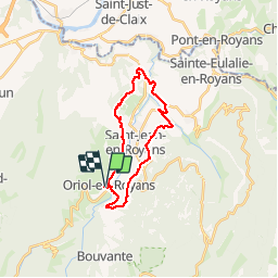

13,7 km | 23 km-effort


Utilisateur


Application GPS de randonnée GRATUITE
 SityTrail
IGN / Instituts géographiques
SityTrail World
Le monde est à vous
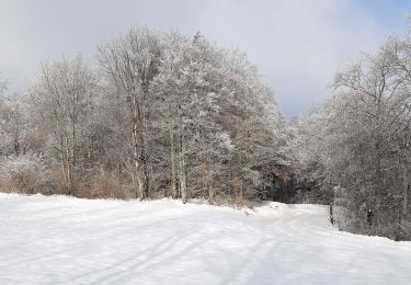
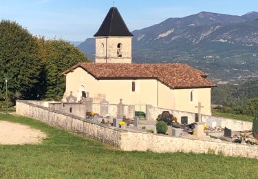
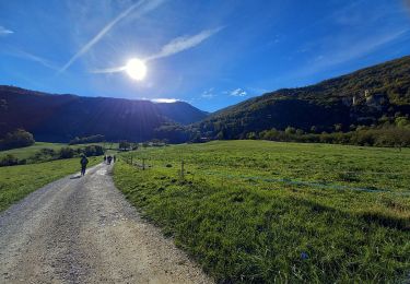
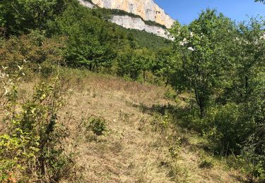
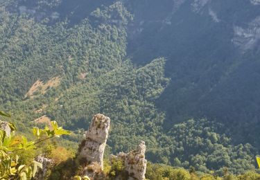
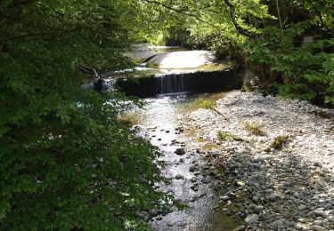
Randonnée Vélo de route de 22 km à découvrir à Auvergne-Rhône-Alpes, Drôme, Oriol-en-Royans. Cette randonnée est proposée par jacloizeau.
Marche
Marche
Marche nordique
Marche
Marche
Marche
Marche
Marche
Marche