


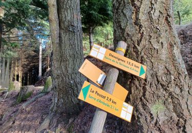
6,8 km | 10,1 km-effort


Utilisateur


Application GPS de randonnée GRATUITE
 SityTrail
IGN / Instituts géographiques
SityTrail World
Le monde est à vous
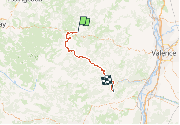
Randonnée Cyclotourisme de 63 km à découvrir à Auvergne-Rhône-Alpes, Ardèche, Saint-Agrève. Cette randonnée est proposée par ericf64.
St Agrège à Chambon sur bava

Marche
Marche
Marche

V.T.T.

Marche
Marche
Marche
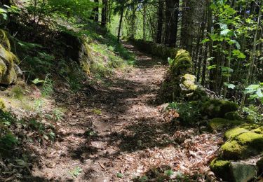
Marche
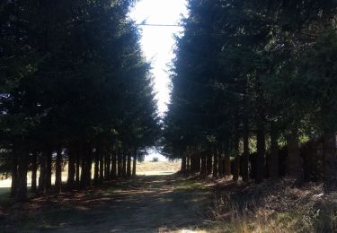
Marche