8,5 km | 0 m-effort
Gaschney - Tour du Petit Hohneck
sit68000
Utilisateur
Longueur
7,2 km
Altitude max
1224 m
Dénivelé positif
291 m
Km-Effort
11,1 km
Altitude min
981 m
Dénivelé négatif
290 m
Boucle
Oui
Date de création :
2019-06-19 15:06:22.103
Dernière modification :
2019-06-20 07:23:06.695
2h10
Difficulté : Moyen
Application GPS de randonnée GRATUITE
À propos
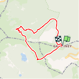
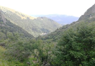
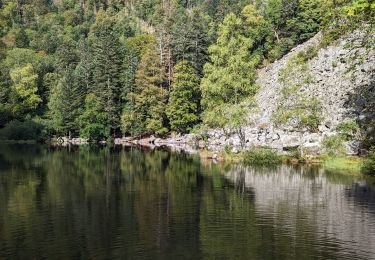
Randonnée Marche de 7,2 km à découvrir à Grand Est, Haut-Rhin, Stosswihr. Cette randonnée est proposée par sit68000.
Description
Départ en fin d'après-midi vers 17h30
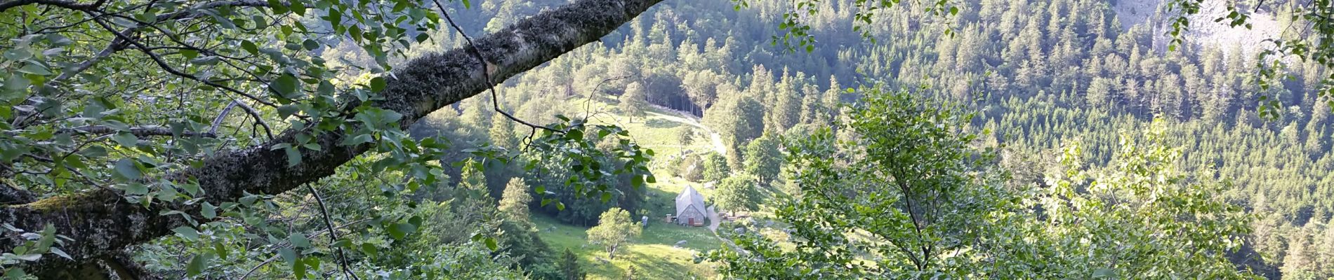
Passage à la grotte Dagobert
Repas à la ferme auberge Schiessroth vers 19h00
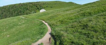
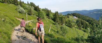
Localisation
Pays :
France
Région :
Grand Est
Département/Province :
Haut-Rhin
Commune :
Stosswihr
Localité :
Unknown
Départ:(Dec)
Départ:(UTM)
354398 ; 5321969 (32U) N.
Commentaires
Randonnées à proximité
Tour du belvedere avec le passage sur les crêtes
Marche
Très facile
(2)
Stosswihr,
Grand Est,
Haut-Rhin,
France
2h 28min
Oui
Kastelberg des pierres, des lacs, des panoramas magnifiques
Marche
Difficile
(1)
La Bresse,
Grand Est,
Vosges,
France
15,1 km | 26 km-effort
6h 11min
Oui
Les Hirschsteine
Marche
Difficile
(1)
Le Valtin,
Grand Est,
Vosges,
France
16,1 km | 25 km-effort
6h 28min
Oui
Du Hohneck au Kastelberg par les Spietzkoepfe et le Sentier des Névées
Marche
Très difficile
(3)
La Bresse,
Grand Est,
Vosges,
France
7,6 km | 13,7 km-effort
3h 30min
Oui
Rainkopf - Mittlach - Hohneck
Marche
Difficile
(1)
La Bresse,
Grand Est,
Vosges,
France
22 km | 41 km-effort
8h 0min
Oui
raquettes
Raquettes à neige
Très facile
(1)
Le Valtin,
Grand Est,
Vosges,
France
6,6 km | 9,4 km-effort
3h 8min
Non
Sentier des Névés
V.T.T.
Très difficile
(1)
Metzeral,
Grand Est,
Haut-Rhin,
France
33 km | 52 km-effort
6h 0min
Oui
Le cirque glaciaire du Frankenthal - Sentier des Roches -Gps
Marche
Difficile
(3)
Stosswihr,
Grand Est,
Haut-Rhin,
France
9 km | 16,1 km-effort
4h 10min
Oui
2023-09-24 Marche Mittlach 5 Lacs
Marche
Moyen
Mittlach,
Grand Est,
Haut-Rhin,
France
25 km | 41 km-effort
9h 19min
Oui