


22 km | 29 km-effort

Utilisateur


Application GPS de randonnée GRATUITE
 SityTrail
IGN / Instituts géographiques
SityTrail World
Le monde est à vous
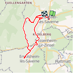
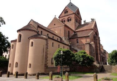
Randonnée Marche de 18,6 km à découvrir à Grand Est, Bas-Rhin, Neuwiller-lès-Saverne. Cette randonnée est proposée par VacheKiri67.
Faite le 11/08/2013 avec notre fils de 8 ans, un couple d'ami et leur fille.
D'après : Randonnées & Histoires N°11 p.83 : Sur les traces d'un saint, de châteaux et de grands personnages.


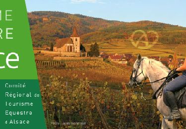
Randonnée équestre
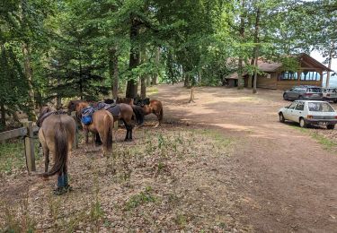
Randonnée équestre
A pied
A pied
A pied
A pied
A pied
A pied
A pied
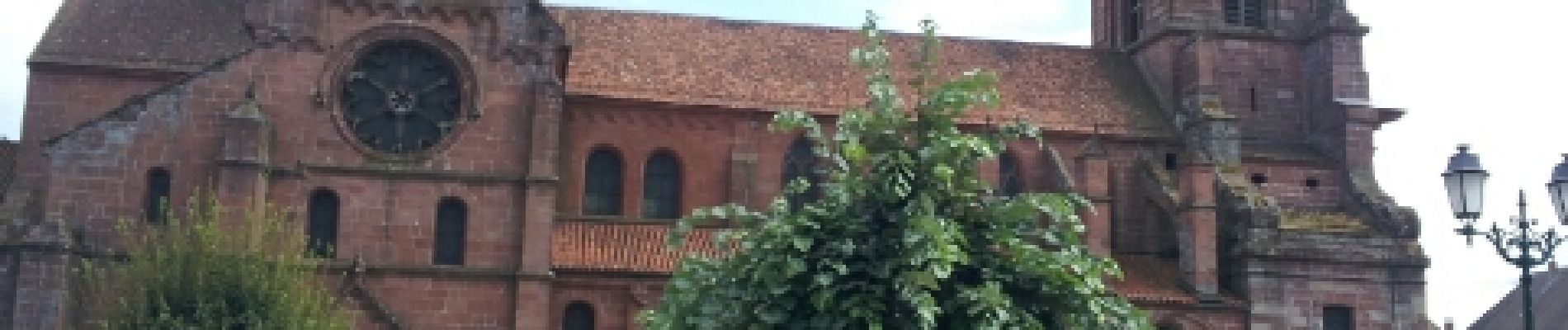
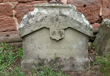
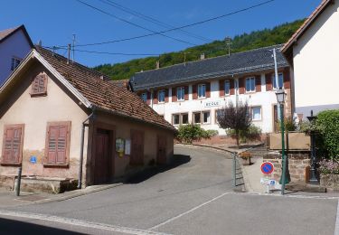
Randonnée forestière. Neuwiller-lès-Saverne est un superbe village.