


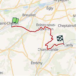

23 km | 29 km-effort

Utilisateur


Application GPS de randonnée GRATUITE
 SityTrail
IGN / Instituts géographiques
SityTrail World
Le monde est à vous
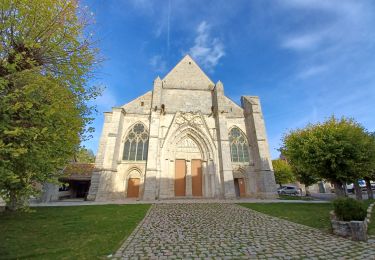
Randonnée Marche de 18 km à découvrir à Île-de-France, Essonne, Saint-Chéron. Cette randonnée est proposée par ABICHE.
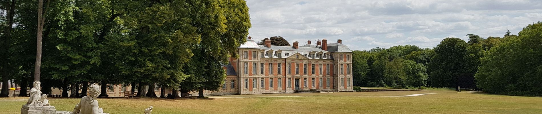
(01/08/2019) Randonnée qui vous fera passer par le château de Chamarande et son grand parc dans lequel vous pourrez pic-niquer et, peut-être, apercevoir des chevreuils. Attention : long passage sur route entre le lieu dit La Roue (après Torfou) et Chamarande.


Marche

Marche
Marche
Marche

Marche
Marche

Marche
A pied
Marche