Randonnée Marche Aston - pic de rulhe - Photo
 rolandariege
rolandariege

Utilisateur

© OpenStreetMap contributors
Longueur
Longueur
11,1 km
Boucle
Boucle
Non
Date de création :
2019-08-05 05:32:59.415
Dernière modification :
2019-08-05 17:07:40.706

(0 Avis)

Marche
Marche
7h52
Difficulté : Difficile

Scannez ce code QR pour ouvrir la randonnée dans l'application SityTrail

Application GPS de randonnée GRATUITE

Logo SityTrail SityTrail

IGN / Instituts géographiques

Télécharger SityTrail sur l'App Store Télécharger SityTrail sur Google Play

Logo SityTrail SityTrail World

Le monde est à vous

Télécharger SityTrail sur l'App Store Télécharger SityTrail sur Google Play Télécharger SityTrail sur Huawei AppGallery

À propos

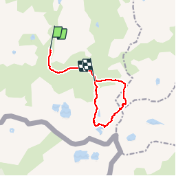
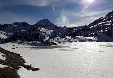
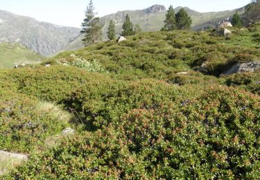
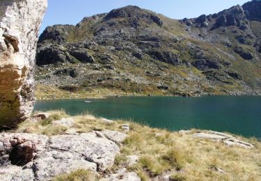
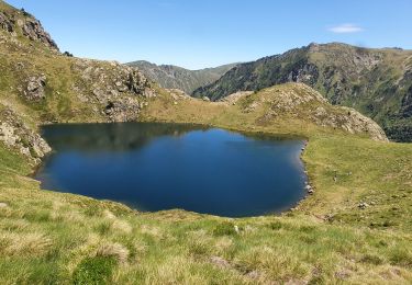
Randonnée Marche de 11,1 km à découvrir à Occitanie, Ariège, Aston. Cette randonnée est proposée par rolandariege.
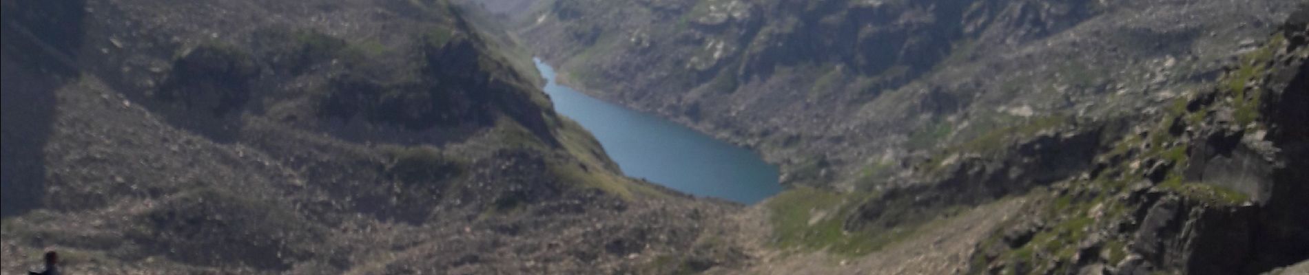
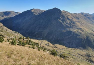
Description

haute montagne

Profil altimétrique

Photos

Localisation

Pays :
France
Région :
Occitanie
Département/Province :
Ariège
Commune :
Aston
Localité :
Unknown
Départ:(UTM)
393726 ; 4722740 (31T) N.

Randonnées à proximité

Randonnée Marche Aston - Etangs de Mirabail et La Peyre - Photo
Marche
force

Marche

Moyen
(2)
Aston, Occitanie, Ariège, France
14,5 km | 29 km-effort
8h 0min
Oui
Randonnée Marche Aston - Etangs de Fontargenta - Photo
Marche
sebdepuje

Marche

Moyen
(1)
Aston, Occitanie, Ariège, France
10,9 km | 19,4 km-effort
Inconnu
Oui
Randonnée Marche Aston - pic de caballiere - Photo
Marche
chrisgps

Marche

Moyen
Aston, Occitanie, Ariège, France
12 km | 23 km-effort
5h 20min
Oui
Randonnée Marche Savignac-les-Ormeaux - 2022 TRANSPYRÉNÉENNE : Auberge de Ruhle - Mèrens les Vals ( Auberge du N’abréger) - Photo
Marche
LEGUE

Marche

Moyen
Savignac-les-Ormeaux, Occitanie, Ariège, France
11,8 km | 19,8 km-effort
3h 27min
Non
Randonnée Marche Aston - Refuge de Ruhle - Photo
Marche
petit-pied

Marche

Facile
(1)
Aston, Occitanie, Ariège, France
8,1 km | 16,3 km-effort
3h 32min
Oui
Randonnée Marche Aston - etang de Montaut - Photo
Marche
rolandariege

Marche

Facile
Aston, Occitanie, Ariège, France
10,9 km | 19,4 km-effort
5h 32min
Oui
Randonnée Marche Aston - Ariège - refuge du ruhle - Photo
Marche
tracegps

Marche

Moyen
Aston, Occitanie, Ariège, France
18,6 km | 31 km-effort
13h 0min
Oui
Randonnée Marche Aston - Les Etangs de Fontargente - Photo
Marche
tracegps

Marche

Moyen
(1)
Aston, Occitanie, Ariège, France
15,2 km | 25 km-effort
4h 0min
Oui
Randonnée Marche Aston - dernière rando pêche  - Photo
Marche
becken

Marche

Difficile
Aston, Occitanie, Ariège, France
5,8 km | 12,4 km-effort
5h 7min
Non


Fermer
Mes abonnements