Randonnée Marche Sewen - sewen - Photo
 jcguew
jcguew

Utilisateur

© OpenStreetMap contributors
Longueur
Longueur
10,3 km
Altitude max
Altitude max
941 m
Dénivelé positif
Dénivelé positif
452 m
Km-Effort
Km-Effort  
16,4 km
Altitude min
Altitude min
500 m
Dénivelé négatif
Dénivelé négatif
452 m
Boucle
Boucle
Oui
Date de création :
2019-08-14 13:17:28.077
Dernière modification :
2019-08-14 18:09:09.549

(0 Avis)

Marche
Marche
3h18
Difficulté : Facile

Scannez ce code QR pour ouvrir la randonnée dans l'application SityTrail

Application GPS de randonnée GRATUITE

Logo SityTrail SityTrail

IGN / Instituts géographiques

Télécharger SityTrail sur l'App Store Télécharger SityTrail sur Google Play

Logo SityTrail SityTrail World

Le monde est à vous

Télécharger SityTrail sur l'App Store Télécharger SityTrail sur Google Play Télécharger SityTrail sur Huawei AppGallery

À propos

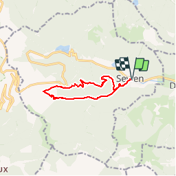
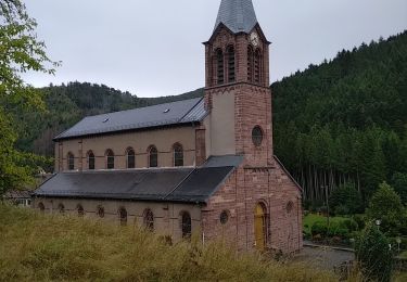
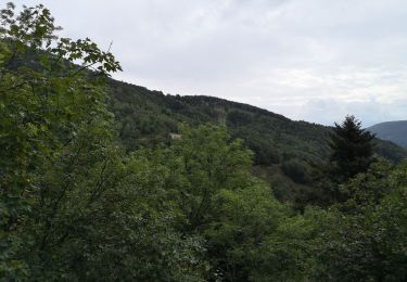
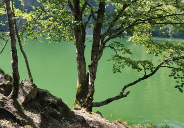
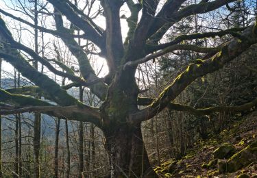
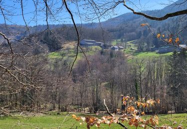
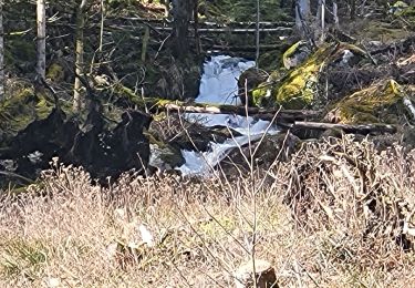
Randonnée Marche de 10,3 km à découvrir à Grand Est, Haut-Rhin, Sewen. Cette randonnée est proposée par jcguew.

Description

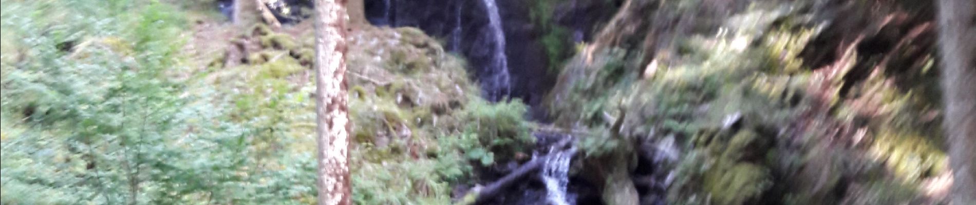
Sewen cascades wagenstal- ferme gd langenberg- petit langenberg Sewen

Profil altimétrique

Photos

Localisation

Pays :
France
Région :
Grand Est
Département/Province :
Haut-Rhin
Commune :
Sewen
Localité :
Unknown
Départ:(UTM)
343175 ; 5296968 (32T) N.

Randonnées à proximité

Randonnée Marche Rimbach-près-Masevaux - Haute Bers - Photo
Marche
helmut68

Marche

Moyen
(1)
Rimbach-près-Masevaux, Grand Est, Haut-Rhin, France
12 km | 20 km-effort
3h 25min
Oui
Randonnée Marche Saint-Maurice-sur-Moselle - Tour du Ballon d'Alsace - Photo
Marche
VacheKiri67

Marche

Difficile
(1)
Saint-Maurice-sur-Moselle, Grand Est, Vosges, France
10,5 km | 17,7 km-effort
5h 25min
Oui
Randonnée Marche Sewen - Boucle entre les lacs de Sewen et d'Alfeld - Photo
Marche
tracegps

Marche

Moyen
(1)
Sewen, Grand Est, Haut-Rhin, France
8,1 km | 12,3 km-effort
2h 30min
Oui
Randonnée Marche Sewen - lac d'Alfeld  - Photo
Marche
klopbill

Marche

Très difficile
(1)
Sewen, Grand Est, Haut-Rhin, France
17,1 km | 28 km-effort
8h 7min
Oui
Randonnée Marche Kirchberg - 2022-07-15 Marche Refuge Baerenkopf Auberge Gazon Vert - Photo
Marche
GUIDE
holtzv

Marche

Très difficile
Kirchberg, Grand Est, Haut-Rhin, France
23 km | 38 km-effort
8h 21min
Non
Randonnée Marche Kirchberg - Rando du 11/04/2024  ..Marcheurs - Photo
Marche
boubou68

Marche

Très difficile
Kirchberg, Grand Est, Haut-Rhin, France
23 km | 37 km-effort
5h 37min
Oui
Randonnée Marche Sewen - Rando des Marcheurs par Alain..13/03/2024 - Photo
Marche
boubou68

Marche

Très difficile
Sewen, Grand Est, Haut-Rhin, France
18,9 km | 31 km-effort
5h 36min
Oui
Randonnée Marche Sewen - Sewen - abris de Dolleren et du Sommerseite - Lachtelweiher - Col du Lochberg - Wissgrut - Photo
Marche
Bart2015

Marche

Très difficile
Sewen, Grand Est, Haut-Rhin, France
24 km | 39 km-effort
8h 58min
Oui
Randonnée Marche Rimbach-près-Masevaux - Rimbach - lacs du Neuweiher et des Perches par Rouge Gazon - Photo
Marche
Bart2015

Marche

Très difficile
Rimbach-près-Masevaux, Grand Est, Haut-Rhin, France
17,1 km | 28 km-effort
6h 18min
Oui


Fermer
Mes abonnements