


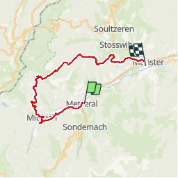

14,8 km | 27 km-effort


Utilisateur


Application GPS de randonnée GRATUITE
 SityTrail
IGN / Instituts géographiques
SityTrail World
Le monde est à vous
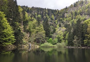
Randonnée Marche de 24 km à découvrir à Grand Est, Haut-Rhin, Metzeral. Cette randonnée est proposée par Boubouc77.
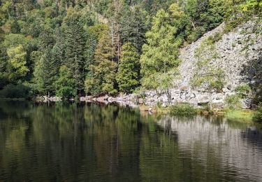
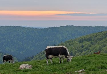
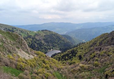
quelques beaux dénivelé, sur les traces des vestiges de la 1ère guerre.

Marche

Marche

Marche

Raquettes à neige

V.T.T.
Marche
Marche
Marche
Marche