


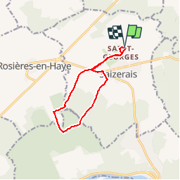

29 km | 35 km-effort


Utilisateur


Application GPS de randonnée GRATUITE
 SityTrail
IGN / Instituts géographiques
SityTrail World
Le monde est à vous
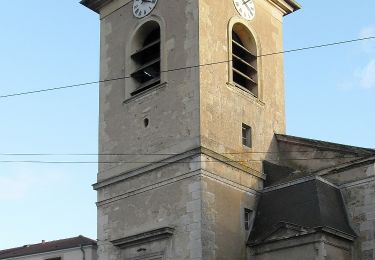
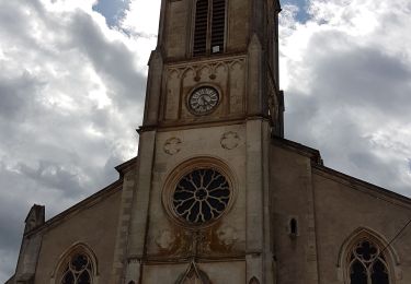
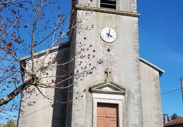
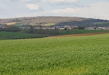
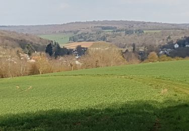
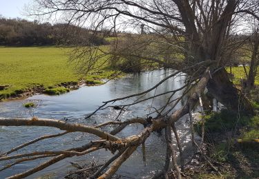
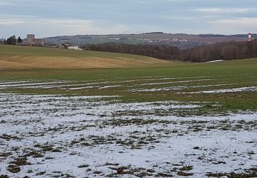
Randonnée Course à pied de 9,7 km à découvrir à Grand Est, Meurthe-et-Moselle, Saizerais. Cette randonnée est proposée par regbal.
Vélo
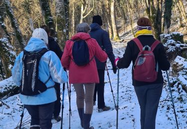
Marche
A pied
Marche
Marche
Marche
Marche
Marche
Marche