


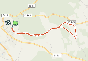


13 km | 15,4 km-effort

Utilisateur


Application GPS de randonnée GRATUITE
 SityTrail
IGN / Instituts géographiques
SityTrail World
Le monde est à vous
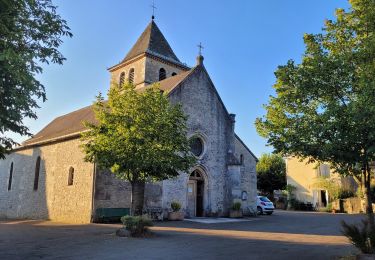
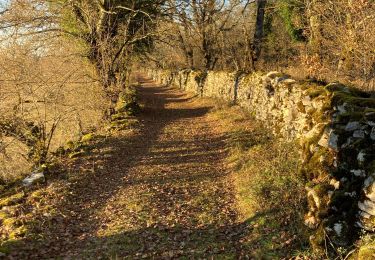
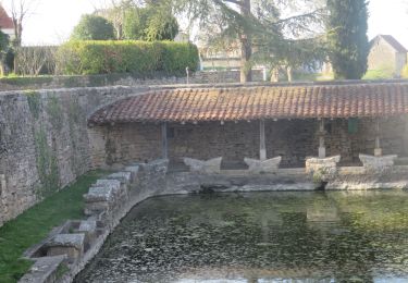
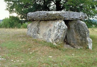
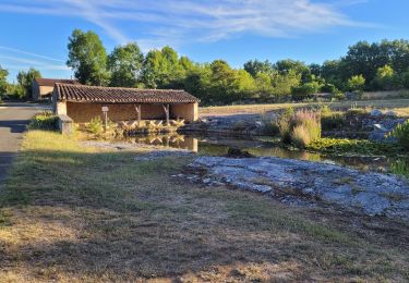
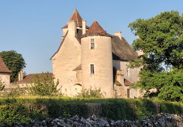
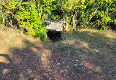
Randonnée Marche de 4,9 km à découvrir à Occitanie, Lot, Limogne-en-Quercy. Cette randonnée est proposée par clotioneb.

Marche
Marche
Marche
Marche
Marche
Marche
Marche
Marche

Marche