


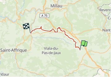

13,5 km | 15,6 km-effort


Utilisateur


Application GPS de randonnée GRATUITE
 SityTrail
IGN / Instituts géographiques
SityTrail World
Le monde est à vous
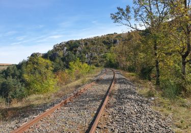
Randonnée Cheval de 34 km à découvrir à Occitanie, Aveyron, Sainte-Eulalie-de-Cernon. Cette randonnée est proposée par jribeiro12.
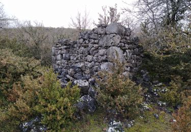
Mas Trinquiet Larzac - Saint Rome de Cernon par Bois GrandAvec Attelage Marathon et un Cavalier à cheal

Marche
Marche
Marche
Marche nordique
Marche
Marche
Marche