


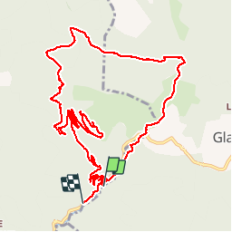

14,2 km | 27 km-effort

Utilisateur


Application GPS de randonnée GRATUITE
 SityTrail
IGN / Instituts géographiques
SityTrail World
Le monde est à vous
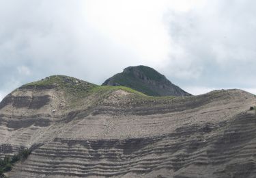
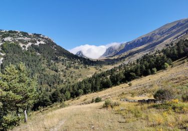
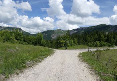
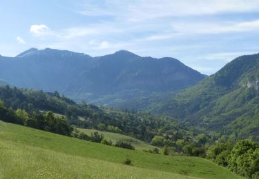
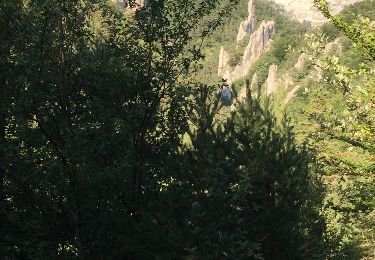
Randonnée Marche de 14,6 km à découvrir à Auvergne-Rhône-Alpes, Drôme, Glandage. Cette randonnée est proposée par TOULAUDIN.
trace réelle du parcours fait le 8/5/19 avec ASPTT VALENCE


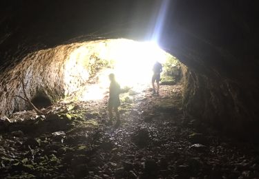
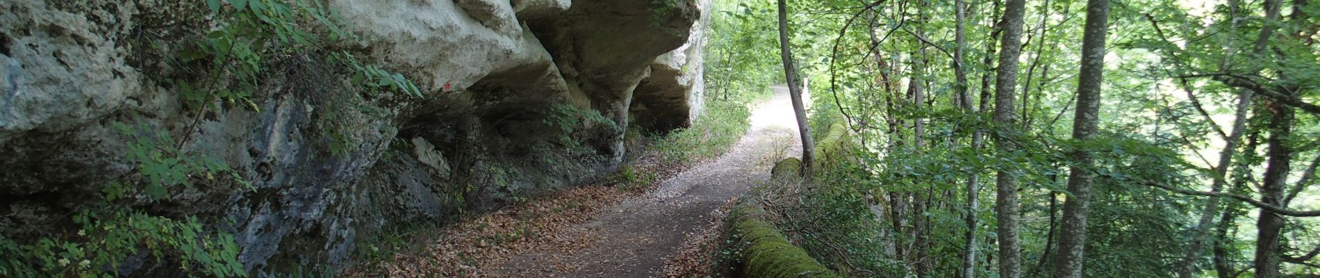
Marche
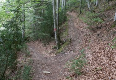
Marche
Marche
Marche
Marche
Marche
Marche

Marche

V.T.T.