


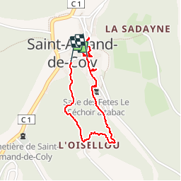

5,4 km | 6,8 km-effort

Utilisateur


Application GPS de randonnée GRATUITE
 SityTrail
IGN / Instituts géographiques
SityTrail World
Le monde est à vous
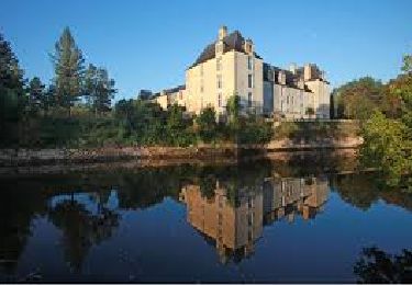
Randonnée Marche de 1,6 km à découvrir à Nouvelle-Aquitaine, Dordogne, Coly-Saint-Amand. Cette randonnée est proposée par alainjoseph6.
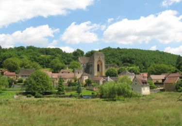
un village magnifique avec son sentier d'interprétation et dans majestueuse Abbaye.
Saint Amand de Coly fait partie des plus beaux villages de France .
Il faut se garer au parking en bas du village.


Marche

Marche
Marche
Marche
Marche

V.T.T.
Marche
Marche
Marche