


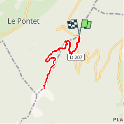

11,5 km | 19,5 km-effort


Utilisateur


Application GPS de randonnée GRATUITE
 SityTrail
IGN / Instituts géographiques
SityTrail World
Le monde est à vous
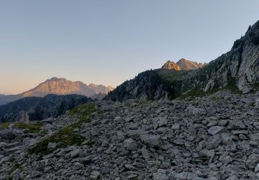
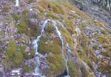
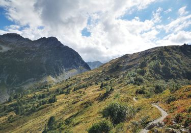
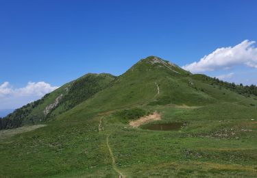
Randonnée Marche de 8,5 km à découvrir à Auvergne-Rhône-Alpes, Savoie, Saint-Alban-d'Hurtières. Cette randonnée est proposée par laurentnecca.
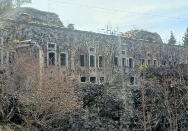
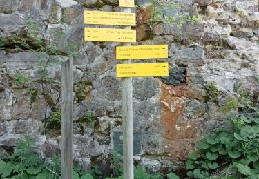
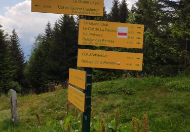
Très bien balise, ideal en période de canicule
Marche
Marche
Marche
Marche
Marche
Marche
Marche
Marche
Marche