


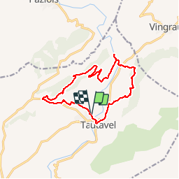

9,5 km | 12,4 km-effort

Utilisateur


Application GPS de randonnée GRATUITE
 SityTrail
IGN / Instituts géographiques
SityTrail World
Le monde est à vous
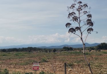
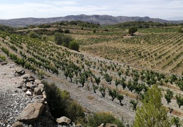
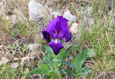
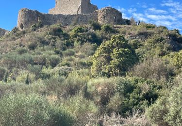
Randonnée Marche de 14,6 km à découvrir à Occitanie, Pyrénées-Orientales, Tautavel. Cette randonnée est proposée par fournieralain.
belle randonnée.


Marche
Marche
Marche
Marche
Marche
Marche
Marche
Marche