Randonnée Marche Sigottier - 2019 10 13 - Col de Saumane - Photo
 cazycricri
cazycricri

Utilisateur

© OpenStreetMap contributors
Longueur
Longueur
12,1 km
Altitude max
Altitude max
1135 m
Dénivelé positif
Dénivelé positif
529 m
Km-Effort
Km-Effort  
19,1 km
Altitude min
Altitude min
721 m
Dénivelé négatif
Dénivelé négatif
526 m
Boucle
Boucle
Oui
Date de création :
2019-10-15 12:22:19.385
Dernière modification :
2019-10-16 20:52:25.049

(0 Avis)

Marche
Marche
--
Difficulté : Facile

Scannez ce code QR pour ouvrir la randonnée dans l'application SityTrail

Application GPS de randonnée GRATUITE

Logo SityTrail SityTrail

IGN / Instituts géographiques

Télécharger SityTrail sur l'App Store Télécharger SityTrail sur Google Play

Logo SityTrail SityTrail World

Le monde est à vous

Télécharger SityTrail sur l'App Store Télécharger SityTrail sur Google Play Télécharger SityTrail sur Huawei AppGallery

À propos

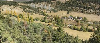
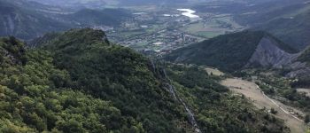
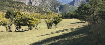
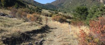
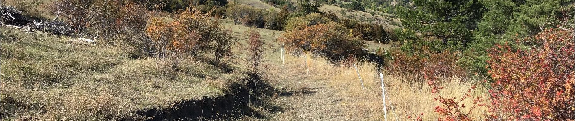
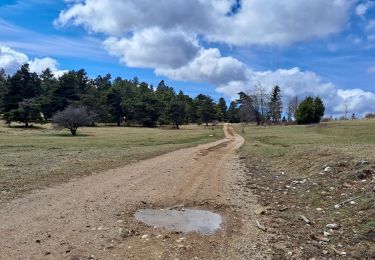
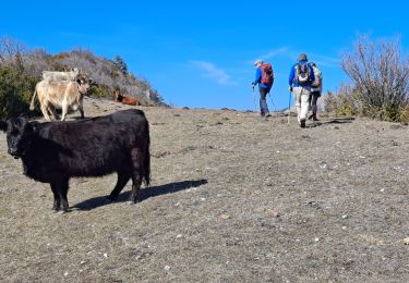
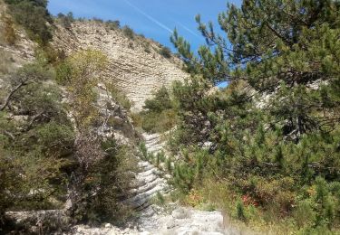
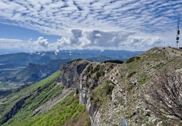
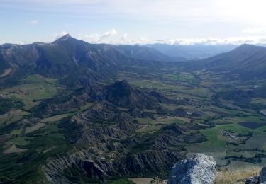
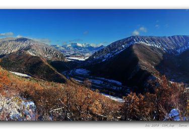
Randonnée Marche de 12,1 km à découvrir à Provence-Alpes-Côte d'Azur, Hautes-Alpes, Sigottier. Cette randonnée est proposée par cazycricri.

Profil altimétrique

Photos

Points d'intérêt

Point d'intérêt Sigottier - Sigottier - Photo
cazycricri
SIGOTTIER 
Point d'intérêt Sigottier - les Michons - Photo
cazycricri
SIGOTTIER 
Point d'intérêt Serres - la Germanette - Photo
cazycricri
Point d'intérêt Sigottier - Rocher d'Agnielles, Montagne d'Aujour, Arambre - Photo
cazycricri
Point d'intérêt Sigottier - Ravin du Pommier direction col d'Arron - Photo
cazycricri

Localisation

Pays :
France
Région :
Provence-Alpes-Côte d'Azur
Département/Province :
Hautes-Alpes
Commune :
Sigottier
Localité :
Unknown
Départ:(UTM)
714278 ; 4925846 (31T) N.

Randonnées à proximité

Randonnée Marche Serres - Tour des Baronnies du Buëch - Serres - Montmorin - Photo
Marche
tracegps

Marche

Difficile
(1)
Serres, Provence-Alpes-Côte d'Azur, Hautes-Alpes, France
20 km | 33 km-effort
4h 0min
Non
Randonnée Marche Serres - R32   Au dessus de Serres - Photo
Marche
GUIDE+

Marche

Moyen
Serres, Provence-Alpes-Côte d'Azur, Hautes-Alpes, France
5,4 km | 10,5 km-effort
2h 8min
Oui
Randonnée Marche Sigottier - Le Duffre - Photo
Marche
Marco05

Marche

Moyen
Sigottier, Provence-Alpes-Côte d'Azur, Hautes-Alpes, France
10,3 km | 19,1 km-effort
4h 19min
Oui
Randonnée Marche Montclus - Montclus - Photo
Marche
Marco05

Marche

Difficile
Montclus, Provence-Alpes-Côte d'Azur, Hautes-Alpes, France
13 km | 24 km-effort
5h 24min
Oui
Randonnée Marche Serres - Rocher de Jardanne - Photo
Marche
Marco05

Marche

Moyen
Serres, Provence-Alpes-Côte d'Azur, Hautes-Alpes, France
10,4 km | 19,8 km-effort
4h 30min
Oui
Randonnée Marche Serres - Rocher de Beaumont - Photo
Marche
Marco05

Marche

Difficile
Serres, Provence-Alpes-Côte d'Azur, Hautes-Alpes, France
11,3 km | 23 km-effort
5h 19min
Non
Randonnée Marche Serres - Arambre - Photo
Marche
Marco05

Marche

Difficile
Serres, Provence-Alpes-Côte d'Azur, Hautes-Alpes, France
6,8 km | 16,9 km-effort
3h 50min
Oui
Randonnée Marche Serres - 20191212_Serres - Les Trois Boucles - Photo
Marche
PapouBertrand

Marche

Moyen
Serres, Provence-Alpes-Côte d'Azur, Hautes-Alpes, France
20 km | 34 km-effort
7h 51min
Oui
Randonnée Marche Sigottier - R35   La Montagne - Photo
Marche
GUIDE+

Marche

Moyen
Sigottier, Provence-Alpes-Côte d'Azur, Hautes-Alpes, France
10,5 km | 18 km-effort
3h 40min
Oui


Fermer
Mes abonnements