


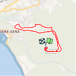

6,5 km | 11,5 km-effort


Utilisateur


Application GPS de randonnée GRATUITE
 SityTrail
IGN / Instituts géographiques
SityTrail World
Le monde est à vous
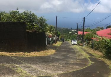
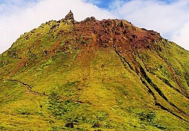
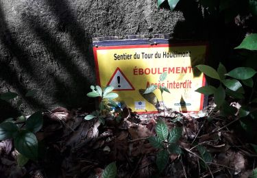
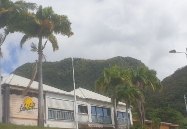
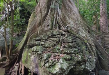
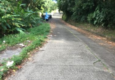
Randonnée Trail de 5,6 km à découvrir à Guadeloupe, Inconnu, Gourbeyre. Cette randonnée est proposée par sameja.
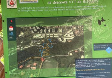
Gourbeyre la boucle
Marche nordique
Trail
Trail
Trail
Course à pied
Marche
Marche
Marche
Trail