


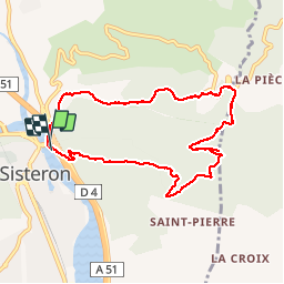

9,3 km | 18,4 km-effort

Utilisateur


Application GPS de randonnée GRATUITE
 SityTrail
IGN / Instituts géographiques
SityTrail World
Le monde est à vous
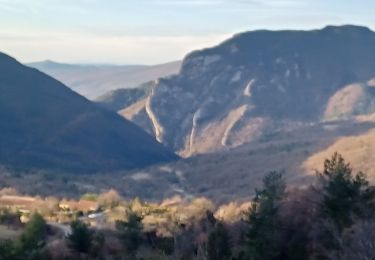
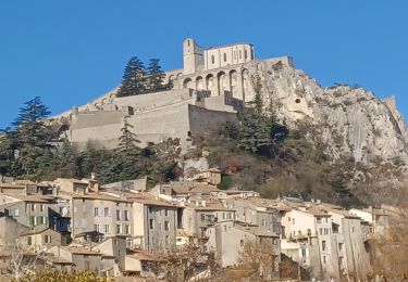
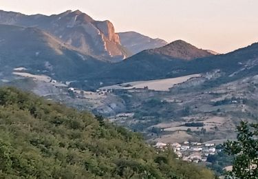
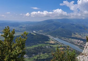
Randonnée Marche de 9 km à découvrir à Provence-Alpes-Côte d'Azur, Alpes-de-Haute-Provence, Sisteron. Cette randonnée est proposée par nadd73.
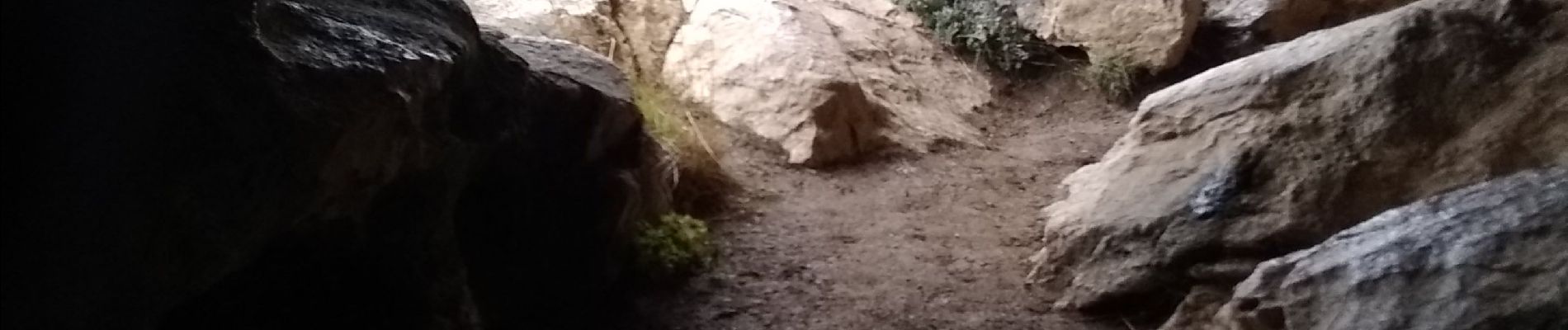
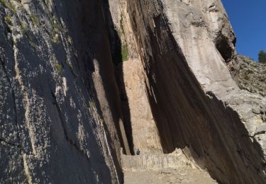
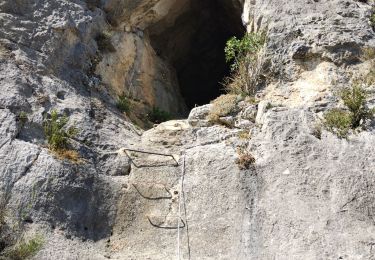
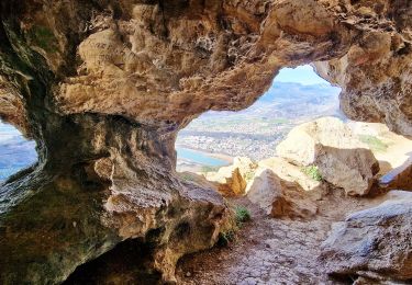
Sisteron, Baume. Ce garer sous le rocher. monter à droite suivre marques jaune. Pour traverser le trou d'argent il faut une lampe. Câbles et échelle. Descente facile.


Marche
Marche
Marche
Marche
Marche
Marche
Marche
Marche
Marche