


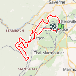

15,4 km | 19,9 km-effort

Utilisateur


Application GPS de randonnée GRATUITE
 SityTrail
IGN / Instituts géographiques
SityTrail World
Le monde est à vous
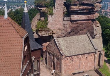
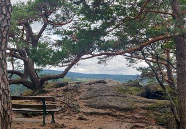
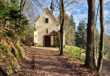
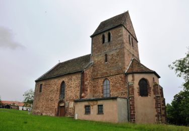
Randonnée Marche de 19,3 km à découvrir à Grand Est, Bas-Rhin, Gottenhouse. Cette randonnée est proposée par GuySimonin.
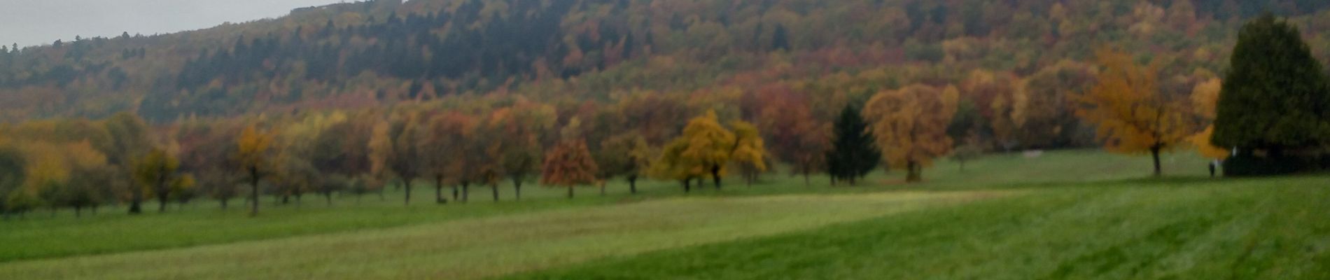
Beau parcours, mais brouillard.


Marche
V.T.T.
Marche
Marche

Marche
Marche
Marche
Marche
A pied