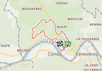


17,7 km | 24 km-effort


Utilisateur


Application GPS de randonnée GRATUITE
 SityTrail
IGN / Instituts géographiques
SityTrail World
Le monde est à vous
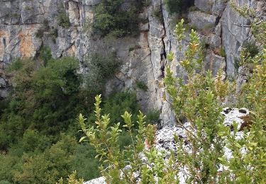
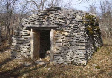
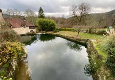
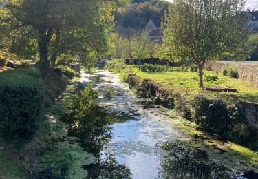
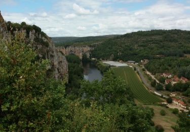
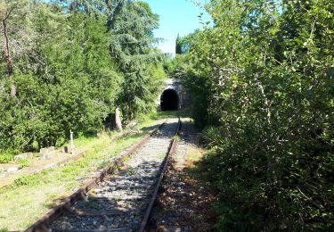
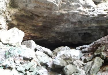
Randonnée Marche de 7,6 km à découvrir à Occitanie, Lot, Saint-Martin-Labouval. Cette randonnée est proposée par benpat.

Marche
Marche
Marche
Marche
Marche
Marche
Marche

Marche