Randonnée Course à pied Sainte-Anne - Trace des baie - Photo
 manuelPerez
manuelPerez

Utilisateur GUIDE

© OpenStreetMap contributors
Longueur
Longueur
19 km
Altitude max
Altitude max
62 m
Dénivelé positif
Dénivelé positif
247 m
Km-Effort
Km-Effort  
22 km
Altitude min
Altitude min
0 m
Dénivelé négatif
Dénivelé négatif
248 m
Boucle
Boucle
Non
Date de création :
2019-12-08 11:29:04.0
Dernière modification :
2019-12-08 14:13:39.366

(0 Avis)

Course à pied
Course à pied
2h42
Difficulté : Inconnu

Scannez ce code QR pour ouvrir la randonnée dans l'application SityTrail

Application GPS de randonnée GRATUITE

Logo SityTrail SityTrail

IGN / Instituts géographiques

Télécharger SityTrail sur l'App Store Télécharger SityTrail sur Google Play

Logo SityTrail SityTrail World

Le monde est à vous

Télécharger SityTrail sur l'App Store Télécharger SityTrail sur Google Play Télécharger SityTrail sur Huawei AppGallery

À propos

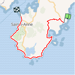
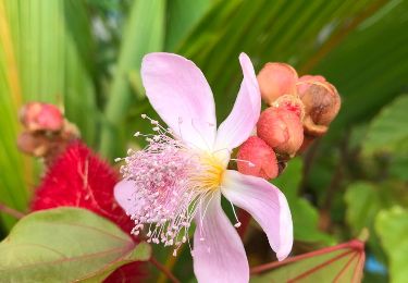
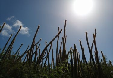
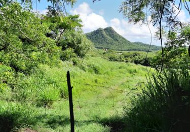
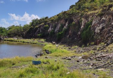
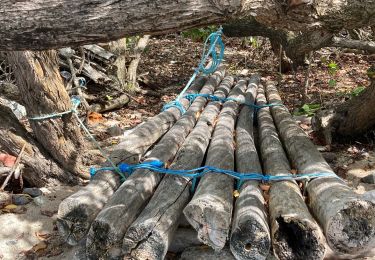
Randonnée Course à pied de 19 km à découvrir à Martinique, Inconnu, Sainte-Anne. Cette randonnée est proposée par manuelPerez.

Description

Linéaire

Profil altimétrique

Localisation

Pays :
France
Région :
Martinique
Département/Province :
Inconnu
Commune :
Sainte-Anne
Localité :
Unknown
Départ:(UTM)
733900 ; 1597065 (20P) N.

Randonnées à proximité

Randonnée Marche Sainte-Anne - du piton crève-coeur vers Le Cap chevalier  - Photo
Marche
GUIDE
GabyG

Marche

Très facile
(1)
Sainte-Anne, Martinique, Inconnu, France
3,9 km | 4,7 km-effort
58min
Non
Randonnée Marche Sainte-Anne - petit Versailles vers cap chevalier.  - Photo
Marche
GUIDE
GabyG

Marche

Très facile
(1)
Sainte-Anne, Martinique, Inconnu, France
11,4 km | 13,7 km-effort
2h 15min
Non
Randonnée Marche Le Marin - GabyG. Cap Macré/Cap beauchêne. - Photo
Marche
GUIDE
GabyG

Marche

Difficile
(1)
Le Marin, Martinique, Inconnu, France
5 km | 6,5 km-effort
1h 25min
Oui
Randonnée Marche Sainte-Anne - Baie des Anglais - Anse Michel - Photo
Marche
GUIDE
David25400

Marche

Très facile
(1)
Sainte-Anne, Martinique, Inconnu, France
10,1 km | 11,2 km-effort
3h 18min
Oui
Randonnée V.T.T. Sainte-Anne - Rando certif SA2 - Photo
V.T.T.
GUIDE
manuelPerez

V.T.T.

Très facile
(1)
Sainte-Anne, Martinique, Inconnu, France
18,4 km | 23 km-effort
6h 16min
Oui
Randonnée Marche Sainte-Anne - Savane des Pétrifications 2 - Photo
Marche
GUIDE
David25400

Marche

Très facile
(1)
Sainte-Anne, Martinique, Inconnu, France
6,9 km | 7,6 km-effort
2h 39min
Oui
Randonnée Marche Sainte-Anne - Cap Chevalier vers la pointe-Marin - Photo
Marche
GUIDE
GabyG

Marche

Moyen
Sainte-Anne, Martinique, Inconnu, France
8 km | 10,1 km-effort
2h 17min
Non
Randonnée Marche Sainte-Anne - les anglais vers Cap chevalier  - Photo
Marche
GUIDE
GabyG

Marche

Facile
Sainte-Anne, Martinique, Inconnu, France
3 km | 3,8 km-effort
1h 44min
Non
Randonnée Marche Sainte-Anne - Boucle fée Creole cap ferré - Photo
Marche
GUIDE
manuelPerez

Marche

Sainte-Anne, Martinique, Inconnu, France
8,4 km | 11,2 km-effort
3h 48min
Oui


Fermer
Mes abonnements