


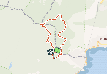

10,4 km | 17,5 km-effort

Utilisateur


Application GPS de randonnée GRATUITE
 SityTrail
IGN / Instituts géographiques
SityTrail World
Le monde est à vous
Randonnée Marche de 6,8 km à découvrir à Provence-Alpes-Côte d'Azur, Var, Saint-Raphaël. Cette randonnée est proposée par cb8310.
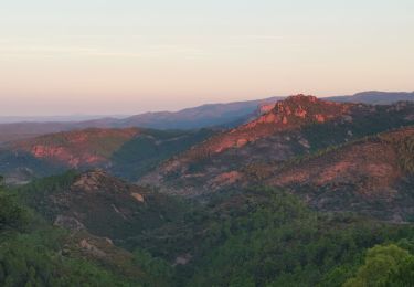
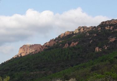
rando sans difficultés à parcourir sur de très larges pistes avec une vue magnifique sur la Méditerranée et les îles de Lérins


Marche

Marche

Marche

Marche
Marche

Marche

Marche
Marche

A pied