


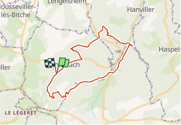

7,8 km | 10,1 km-effort


Utilisateur


Application GPS de randonnée GRATUITE
 SityTrail
IGN / Instituts géographiques
SityTrail World
Le monde est à vous
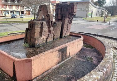
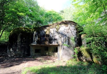
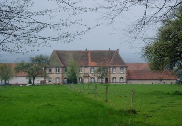
Randonnée Marche de 17,6 km à découvrir à Grand Est, Moselle, Schorbach. Cette randonnée est proposée par TRIMAILLE.
Départ du parking du Centre d'Arts Grossergarten et du Calendrier de la Paix.

Marche

Marche
A pied
A pied
A pied
A pied
A pied
A pied
A pied