


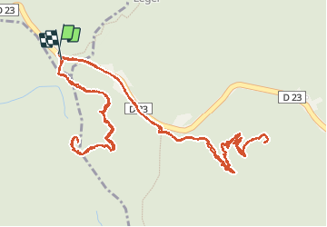

3,4 km | 4,7 km-effort


Utilisateur


Application GPS de randonnée GRATUITE
 SityTrail
IGN / Instituts géographiques
SityTrail World
Le monde est à vous
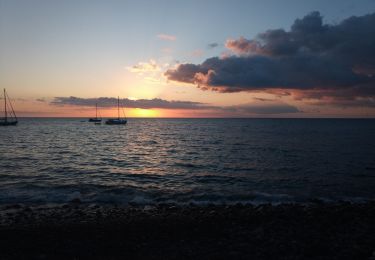
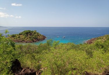
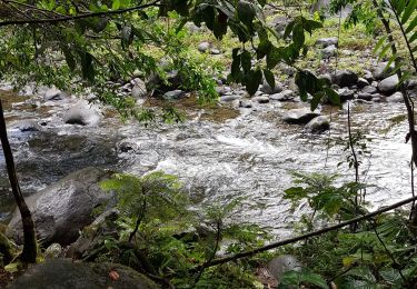
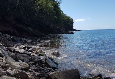
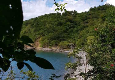
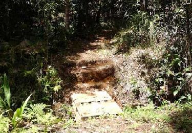
Randonnée Marche de 6,4 km à découvrir à Guadeloupe, Inconnu, Pointe-Noire. Cette randonnée est proposée par Rémi GIVAUDAN.
A pied
Marche
Marche
Marche
Canoë - kayak
Marche
Marche
Course à pied