


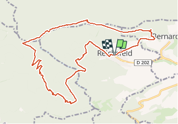

13 km | 18,5 km-effort

Utilisateur GUIDE


Application GPS de randonnée GRATUITE
 SityTrail
IGN / Instituts géographiques
SityTrail World
Le monde est à vous
Randonnée Marche de 12,2 km à découvrir à Grand Est, Bas-Rhin, Reichsfeld. Cette randonnée est proposée par holtzv.
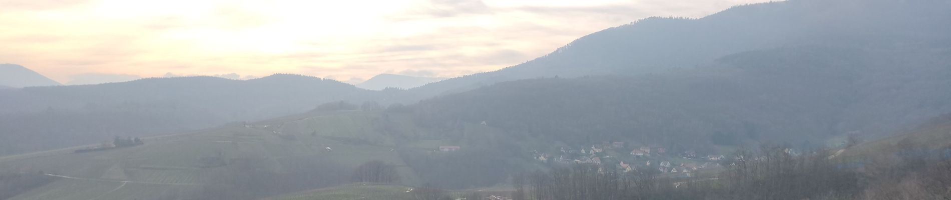
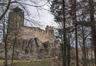
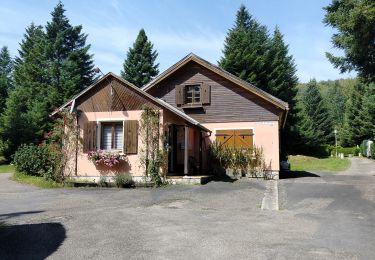
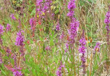
Marche en aller retour depuis Reichfeld pour aller à la tour du Hering en haut du Ungersberg. Sur le retour, passage par le refuge du Gruckert tenu par les amis de la nature de Strasbourg.


Marche

Marche
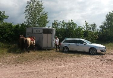
Cheval
Marche

Marche
Marche
Marche
Marche
Marche