


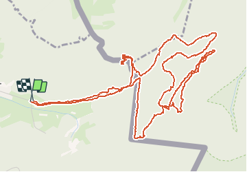

13 km | 16,1 km-effort

Utilisateur


Application GPS de randonnée GRATUITE
 SityTrail
IGN / Instituts géographiques
SityTrail World
Le monde est à vous
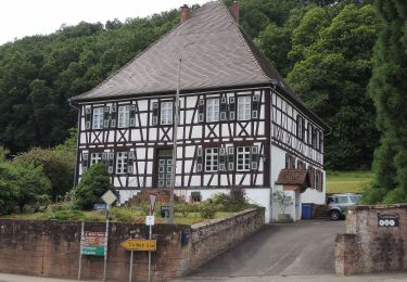
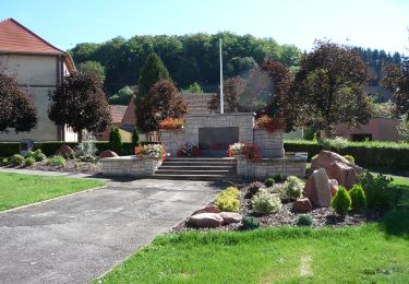
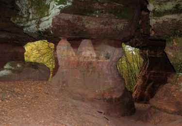
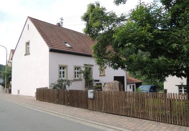
Randonnée Marche de 8,5 km à découvrir à Grand Est, Moselle, Roppeviller. Cette randonnée est proposée par Claude Barbian.
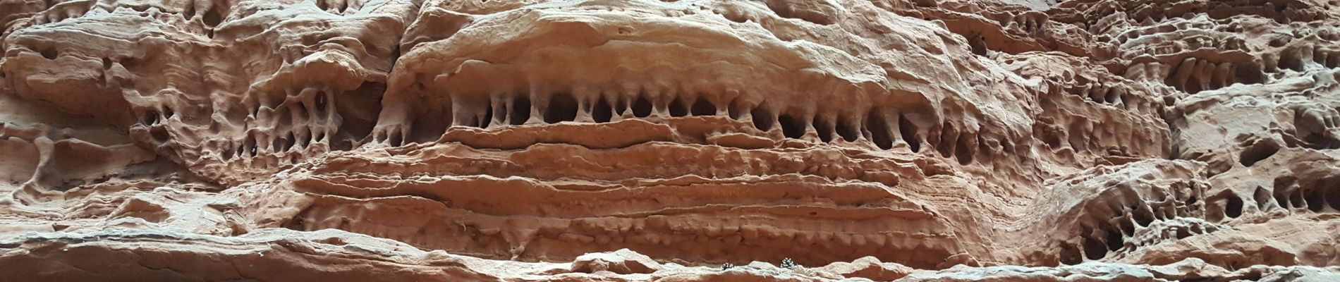
petit circuit du côté du "Colorado" et léger détour par le rocher de Diane
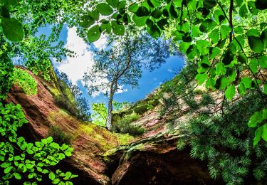
Le tout en forêt de Roppeviller à cheval sur l'Allemagne.


Marche
A pied
A pied
A pied
A pied
A pied
A pied
A pied
A pied