


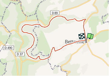


8,7 km | 11,5 km-effort

Club Rando Saint-Paër


Application GPS de randonnée GRATUITE
 SityTrail
IGN / Instituts géographiques
SityTrail World
Le monde est à vous
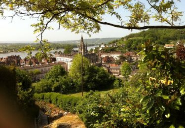
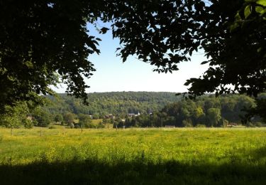
Randonnée Marche de 8,9 km à découvrir à Normandie, Seine-Maritime, Saint-Martin-de-l'If. Cette randonnée est proposée par BOUSSOLE ET SAC A DOS.
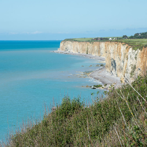
Randonnée assez facile
Cotation d'effort : 2/5

Marche
Marche

Marche
V.T.T.

Marche
Marche
Marche

A pied
A pied