


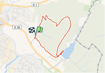

9,9 km | 15,1 km-effort


Utilisateur


Application GPS de randonnée GRATUITE
 SityTrail
IGN / Instituts géographiques
SityTrail World
Le monde est à vous
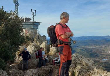
Randonnée Marche de 3,9 km à découvrir à Occitanie, Hérault, Saint-Mathieu-de-Tréviers. Cette randonnée est proposée par dpop34.
Marche

Marche
Marche
Marche

A pied
Marche
Marche
Marche
Marche
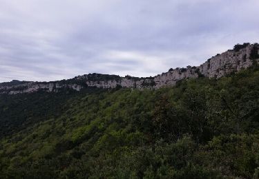
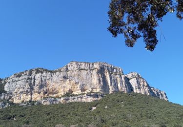
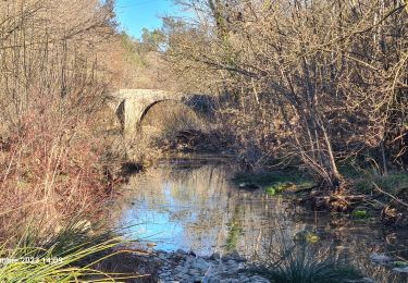
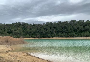
jolie balade. Attention cependant, la descente vers le lac est assez technique
bonne appli