


21 km | 24 km-effort

Utilisateur


Application GPS de randonnée GRATUITE
 SityTrail
IGN / Instituts géographiques
SityTrail World
Le monde est à vous
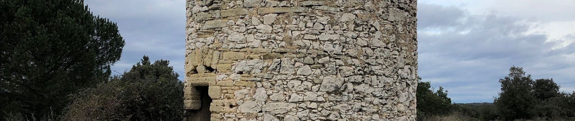
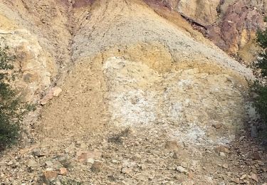
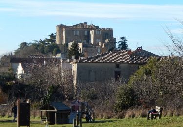
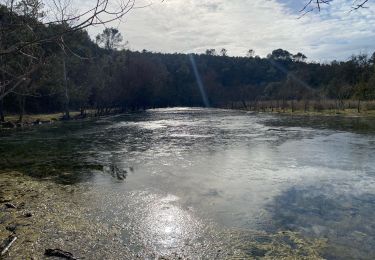
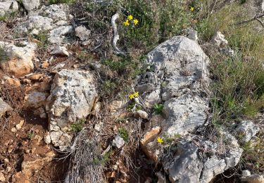
Randonnée Marche de 11,9 km à découvrir à Occitanie, Gard, Saint-Laurent-la-Vernède. Cette randonnée est proposée par pchat.
Parcours intéressant comme chaque année


Autre activité

V.T.T.
Marche
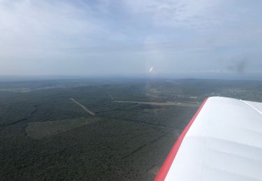
Avion
Marche
Marche
Marche

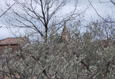
excellente rando correspondant à mon niveau