


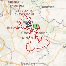


11,6 km | 16,6 km-effort


Utilisateur


Application GPS de randonnée GRATUITE
 SityTrail
IGN / Instituts géographiques
SityTrail World
Le monde est à vous
Randonnée Marche de 20 km à découvrir à Wallonie, Liège, Chaudfontaine. Cette randonnée est proposée par danielf.
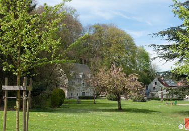
Marche

Marche
Marche

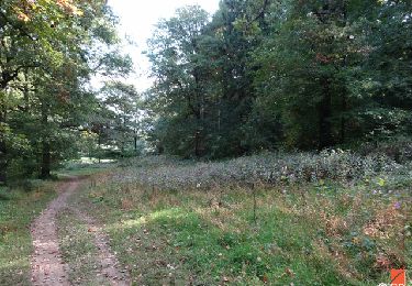
Marche
Marche

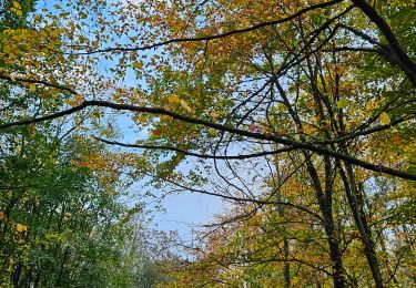
Marche

Marche
des bonnes côtes bien solide s