


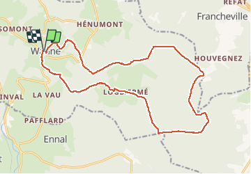


22 km | 29 km-effort

Utilisateur


Application GPS de randonnée GRATUITE
 SityTrail
IGN / Instituts géographiques
SityTrail World
Le monde est à vous
Randonnée Marche de 18,8 km à découvrir à Wallonie, Liège, Trois-Ponts. Cette randonnée est proposée par japy54.


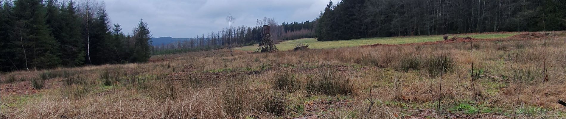
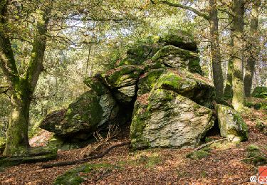
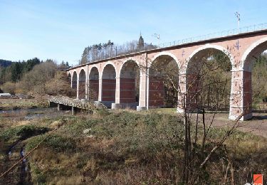
43 photos au total. Cliquez sur une photo pour les afficher toutes dans la galerie.
Marche

Marche

Marche

Marche

Marche

Marche
Marche

Marche

Trail