Randonnée V.T.T. Houlbec-Cocherel - rando vtt houlbec cocherel 01dec13 - Photo

rando vtt houlbec cocherel 01dec13

 leroygibbs
leroygibbs

Utilisateur

© OpenStreetMap contributors
Longueur
Longueur
38 km
Altitude max
Altitude max
149 m
Dénivelé positif
Dénivelé positif
516 m
Km-Effort
Km-Effort  
45 km
Altitude min
Altitude min
32 m
Dénivelé négatif
Dénivelé négatif
517 m
Boucle
Boucle
Non
Date de création :
2014-12-10 00:00:00.0
Dernière modification :
2014-12-10 00:00:00.0

(1 Avis)

V.T.T.
V.T.T.
2h53
Difficulté : Moyen

Scannez ce code QR pour ouvrir la randonnée dans l'application SityTrail

Application GPS de randonnée GRATUITE

Logo SityTrail SityTrail

IGN / Instituts géographiques

Télécharger SityTrail sur l'App Store Télécharger SityTrail sur Google Play

Logo SityTrail SityTrail World

Le monde est à vous

Télécharger SityTrail sur l'App Store Télécharger SityTrail sur Google Play Télécharger SityTrail sur Huawei AppGallery

À propos

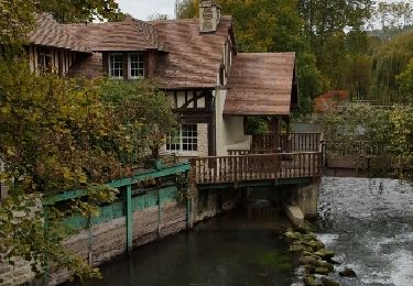
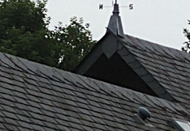
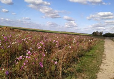
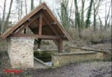
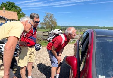
Randonnée V.T.T. de 38 km à découvrir à Normandie, Eure, Houlbec-Cocherel. Cette randonnée est proposée par leroygibbs.

Description

parcours assez roulant avec deux trois cotes pas trop hard

Profil altimétrique

Localisation

Pays :
France
Région :
Normandie
Département/Province :
Eure
Commune :
Houlbec-Cocherel
Localité :
Unknown
Départ:(Dec)
Départ:(UTM)
380830 ; 5437375 (31U) N.

Commentaires

Veuillez vous connecter pour laisser un commentaire ou une note


Randonnées à proximité

Randonnée Marche Ménilles - Ménilles - sentier de découverte - Photo
Marche
marcel.F

Marche

Facile
(2)
Ménilles, Normandie, Eure, France
10,2 km | 12,6 km-effort
2h 41min
Oui
Randonnée Marche Fontaine-sous-Jouy - Jouy sur eure - Photo
Marche
vagalam49

Marche

Moyen
Fontaine-sous-Jouy, Normandie, Eure, France
13,4 km | 16,3 km-effort
3h 21min
Oui
Randonnée Marche Jouy-sur-Eure - Rando Fontaine sous Jouy du 19 juin 2023 - Photo
Marche
bipf

Marche

Moyen
Jouy-sur-Eure, Normandie, Eure, France
8,3 km | 9,1 km-effort
2h 34min
Oui
Randonnée Marche La Chapelle-Longueville - la chapelle réanville - Photo
Marche
JamesVautier

Marche

Facile
La Chapelle-Longueville, Normandie, Eure, France
17,6 km | 21 km-effort
1h 50min
Non
Randonnée Marche La Chapelle-Longueville - La-Chapelle-Réanville - sentier des jeunes pousses - Photo
Marche
marcel.F

Marche

Facile
La Chapelle-Longueville, Normandie, Eure, France
8,3 km | 9,8 km-effort
2h 9min
Oui
Randonnée Marche Saint-Pierre-de-Bailleul - saint pierre de bailleul -ces lavoirs et chateaux - Photo
Marche
nicole.reine@wanadoo.fr

Marche

Difficile
Saint-Pierre-de-Bailleul, Normandie, Eure, France
11,8 km | 15,1 km-effort
3h 25min
Oui
Randonnée Marche Houlbec-Cocherel - téléthon 2022 - Photo
Marche
JamesVautier

Marche

Facile
Houlbec-Cocherel, Normandie, Eure, France
6,2 km | 7,2 km-effort
1h 25min
Oui
Randonnée Vélo de route Vaux-sur-Eure - Jouy / Eure - Photo
Vélo de route
jpbonnemains

Vélo de route

Très facile
Vaux-sur-Eure, Normandie, Eure, France
38 km | 42 km-effort
2h 40min
Non
Randonnée Marche Douains - 2020_02_22_Douains_Forêt de Pacy - Photo
Marche
jeanlucien

Marche

Difficile
Douains, Normandie, Eure, France
10,5 km | 12,5 km-effort
2h 30min
Oui


Fermer
Mes abonnements