


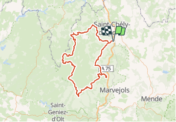


27 km | 34 km-effort

Utilisateur


Application GPS de randonnée GRATUITE
 SityTrail
IGN / Instituts géographiques
SityTrail World
Le monde est à vous
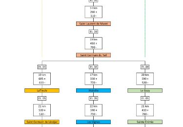
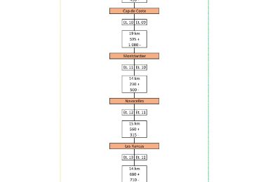
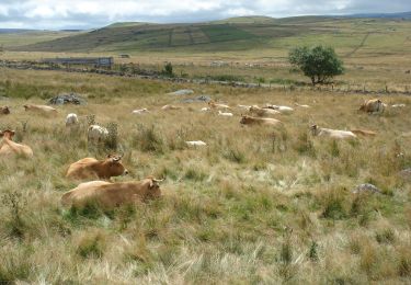
Randonnée Randonnée équestre de 139 km à découvrir à Occitanie, Lozère, Peyre en Aubrac. Cette randonnée est proposée par Lozère Cheval.
Circuit proposé par Laurent


Marche

Marche
Marche
Marche

Marche
Marche

A pied
Randonnée équestre
Marche