


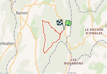

15,8 km | 21 km-effort

Utilisateur


Application GPS de randonnée GRATUITE
 SityTrail
IGN / Instituts géographiques
SityTrail World
Le monde est à vous
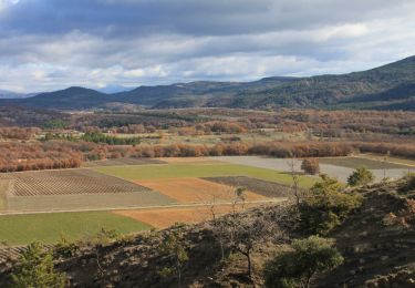
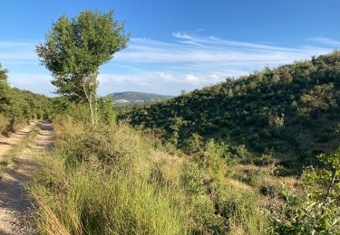
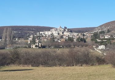
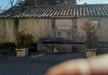
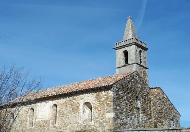
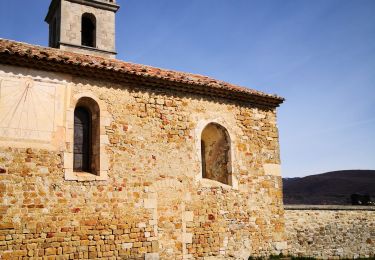
Randonnée Marche de 10,7 km à découvrir à Provence-Alpes-Côte d'Azur, Alpes-de-Haute-Provence, Banon. Cette randonnée est proposée par PITOUSSAINT.
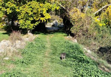
Départ du cimetière. Chemin non balisé uniquement dans la forêt.


Marche
Marche
Marche
Marche
Marche
Marche
Marche
Marche
Marche