


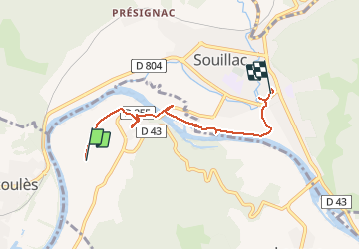


4,5 km | 6,6 km-effort


Utilisateur


Application GPS de randonnée GRATUITE
 SityTrail
IGN / Instituts géographiques
SityTrail World
Le monde est à vous
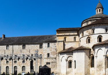
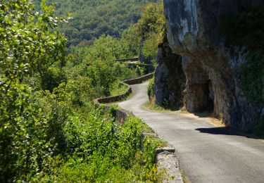
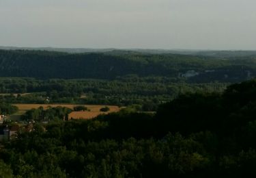
Randonnée Marche de 4,8 km à découvrir à Occitanie, Lot, Lanzac. Cette randonnée est proposée par miggi.


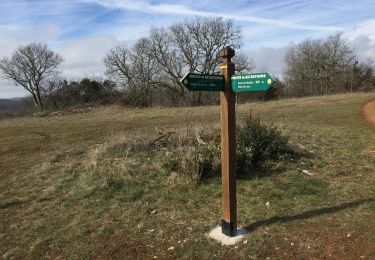
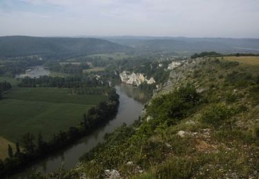
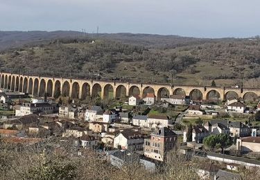
21 photos au total. Cliquez sur une photo pour les afficher toutes dans la galerie.
Marche

Course à pied

Marche
V.T.T.

Vélo de route
Moto
Marche