


17,1 km | 23 km-effort

Utilisateur


Application GPS de randonnée GRATUITE
 SityTrail
IGN / Instituts géographiques
SityTrail World
Le monde est à vous
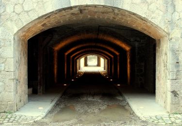
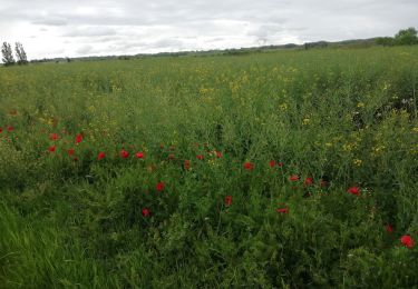
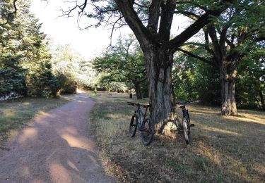
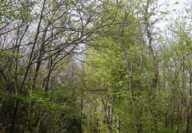
Randonnée V.T.T. de 31 km à découvrir à Auvergne-Rhône-Alpes, Métropole de Lyon, Corbas. Cette randonnée est proposée par ajpbm.
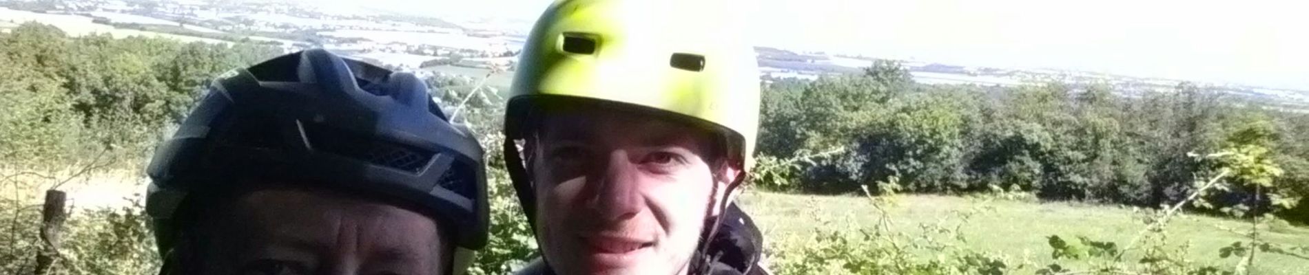
avec Paul


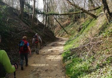
Marche
V.T.T.

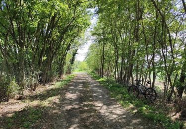
V.T.T.
Marche
A pied
Marche
V.T.C.

V.T.T.
V.T.T.