


6,7 km | 7,9 km-effort


Utilisateur


Application GPS de randonnée GRATUITE
 SityTrail
IGN / Instituts géographiques
SityTrail World
Le monde est à vous
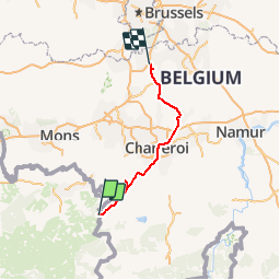
Randonnée Moteur de 89 km à découvrir à Hauts-de-France, Nord, Hestrud. Cette randonnée est proposée par OPT.
Route Napoléon RN_H-W_15-01-2014

Marche
Marche
Marche

Marche
V.T.T.

Marche
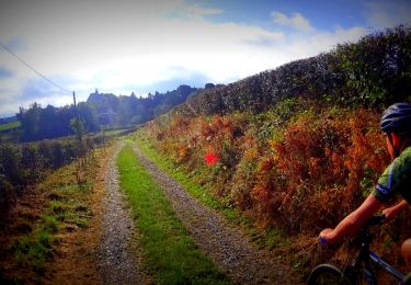
V.T.T.

A pied

Marche