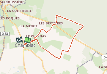

9,4 km | 11,3 km-effort

Utilisateur


Application GPS de randonnée GRATUITE
 SityTrail
IGN / Instituts géographiques
SityTrail World
Le monde est à vous
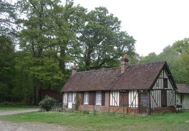
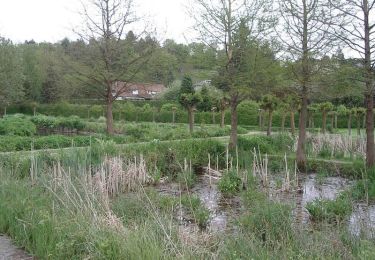
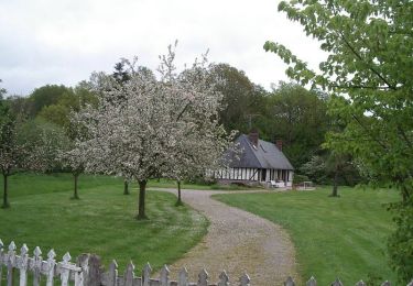
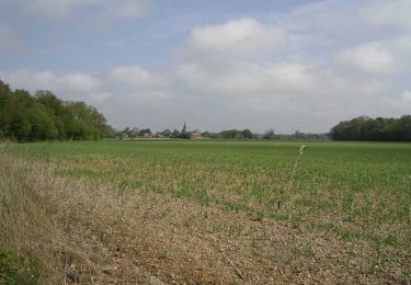
Randonnée Marche de 7,8 km à découvrir à Normandie, Eure, Chamblac. Cette randonnée est proposée par ymarvin.
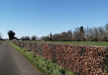
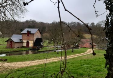
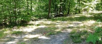
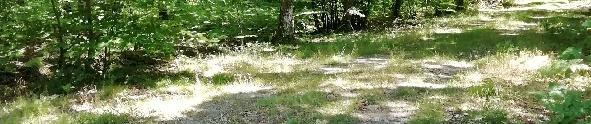
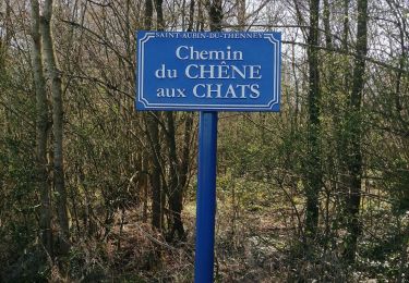
Départ mairie balisage bleu turquoise


Marche
Marche
Vélo
Marche

V.T.T.
Marche
Marche