


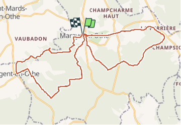

16,1 km | 19,8 km-effort

Utilisateur


Application GPS de randonnée GRATUITE
 SityTrail
IGN / Instituts géographiques
SityTrail World
Le monde est à vous
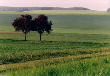
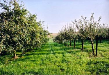
Randonnée Marche de 25 km à découvrir à Grand Est, Aube, Maraye-en-Othe. Cette randonnée est proposée par francis1952.
rando en 8
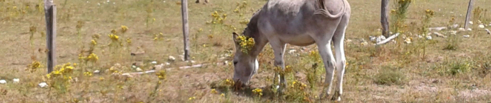
 le 21/07/2020 - Photo 1")
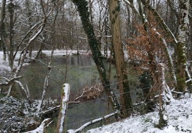
 le 21/07/2020 - Photo 2")
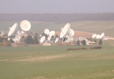
 le 21/07/2020 - Photo 3")

Marche

Marche
Marche
Vélo

Vélo

Marche
Marche
Marche

Marche