


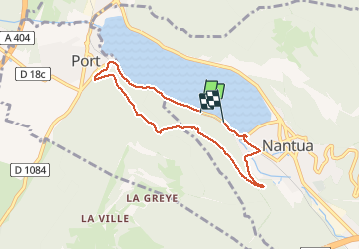

12,1 km | 24 km-effort


Utilisateur


Application GPS de randonnée GRATUITE
 SityTrail
IGN / Instituts géographiques
SityTrail World
Le monde est à vous
Randonnée Marche de 6,5 km à découvrir à Auvergne-Rhône-Alpes, Ain, Nantua. Cette randonnée est proposée par janussity.
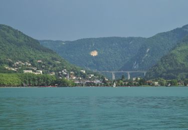
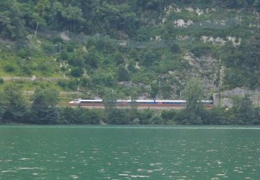
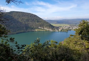
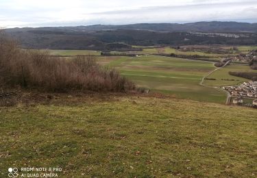
Beau temps. montée du côté de Port et descente côté Nantua. Belles vues sur le lac


Marche
Marche
Marche
A pied
A pied
A pied
Marche
Marche
Marche