


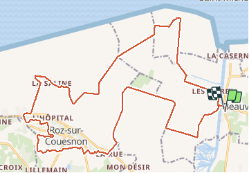

9,1 km | 10,4 km-effort

Utilisateur GUIDE


Application GPS de randonnée GRATUITE
 SityTrail
IGN / Instituts géographiques
SityTrail World
Le monde est à vous
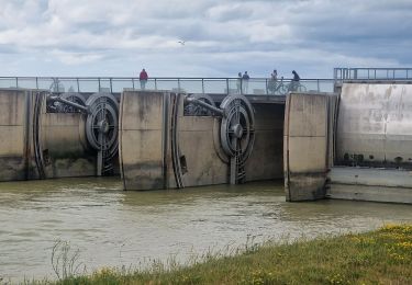
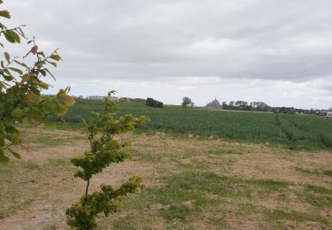
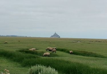
Randonnée V.T.T. de 29 km à découvrir à Normandie, Manche, Beauvoir. Cette randonnée est proposée par pascalou73.
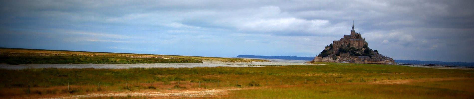
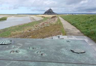
Voilà un VTT sur la région du mont saint Michel le départ se fait au village de Beauvoir .La randonnée entre les belles campagnes de la région et des passages sur des senties de la forêt et le retour par des petites routes entre les champs.


A pied

A pied
Marche

Marche
Marche
Marche
Marche

Marche

Marche