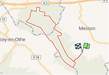
9,4 km | 12 km-effort
Bois Lorgne
FPortier
Utilisateur
Longueur
9,1 km
Altitude max
247 m
Dénivelé positif
192 m
Km-Effort
11,7 km
Altitude min
172 m
Dénivelé négatif
191 m
Boucle
Oui
Date de création :
2020-08-13 06:59:15.752
Dernière modification :
2020-08-13 09:42:05.887
2h13
Difficulté : Très facile
Application GPS de randonnée GRATUITE
À propos
Randonnée Marche de 9,1 km à découvrir à Grand Est, Aube, Messon. Cette randonnée est proposée par FPortier.
Description
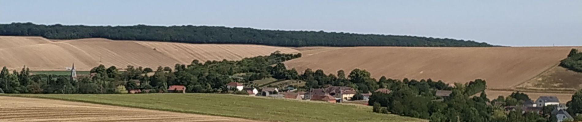
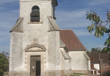
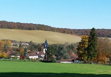
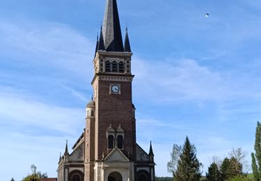
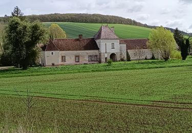
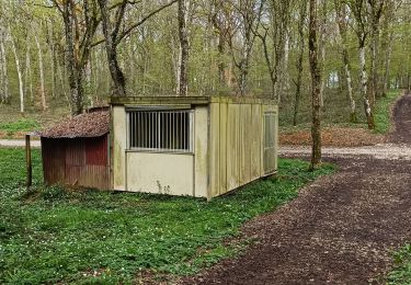
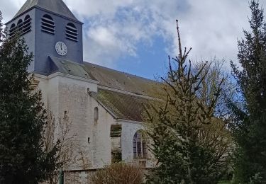
Balade dans les hauteurs de Messon
Localisation
Pays :
France
Région :
Grand Est
Département/Province :
Aube
Commune :
Messon
Localité :
Unknown
Départ:(Dec)
Départ:(UTM)
567220 ; 5344941 (31U) N.
Commentaires
Randonnées à proximité
Le chemin du patrimoine du Valdreux
Marche
Très facile
(1)
Chennegy,
Grand Est,
Aube,
France
8,6 km | 10,5 km-effort
1h 57min
Oui
montaigutour toto aout217
V.T.T.
Difficile
(1)
Laines-aux-Bois,
Grand Est,
Aube,
France
31 km | 42 km-effort
3h 6min
Oui
cource xc cwb Laines Aux Bois 2017
V.T.T.
Difficile
(3)
Laines-aux-Bois,
Grand Est,
Aube,
France
6,6 km | 9,9 km-effort
38min
Oui
Balade VAE Pays d Othe
Vélo électrique
Très facile
Vauchassis,
Grand Est,
Aube,
France
56 km | 66 km-effort
5h 15min
Oui
Bucey en Othe
Marche
Difficile
Bucey-en-Othe,
Grand Est,
Aube,
France
10 km | 12,6 km-effort
3h 0min
Oui
Balade Forêt communale de Vauchassis
Marche
Moyen
Vauchassis,
Grand Est,
Aube,
France
7,5 km | 9,1 km-effort
2h 26min
Oui
Vauchassis Bercenay Vauchassis
Marche
Difficile
Vauchassis,
Grand Est,
Aube,
France
10,3 km | 13 km-effort
3h 2min
Oui
Randonnée Grands Bois Vauchassis
Marche
Moyen
Vauchassis,
Grand Est,
Aube,
France
9,7 km | 12 km-effort
2h 51min
Oui