


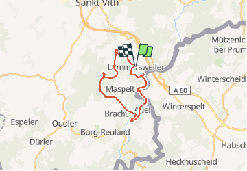

16,1 km | 19,5 km-effort

Utilisateur


Application GPS de randonnée GRATUITE
 SityTrail
IGN / Instituts géographiques
SityTrail World
Le monde est à vous
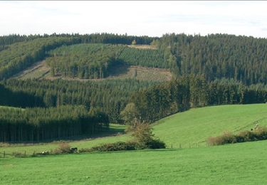
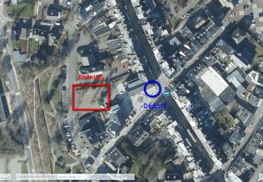
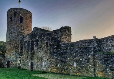
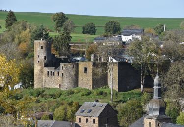
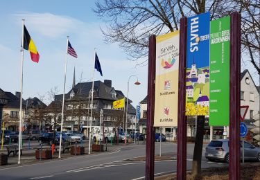
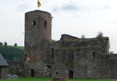
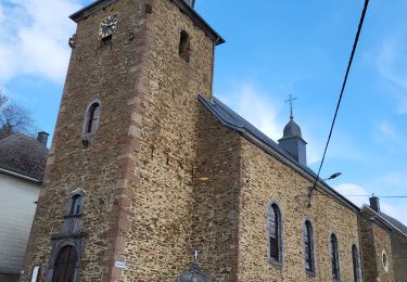
Randonnée Marche de 18,4 km à découvrir à Wallonie, Liège, Saint-Vith. Cette randonnée est proposée par emileverschueren.


Marche
Marche
Marche
Marche
Marche
Marche
A pied
Marche