


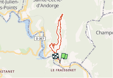

18,1 km | 25 km-effort

Utilisateur


Application GPS de randonnée GRATUITE
 SityTrail
IGN / Instituts géographiques
SityTrail World
Le monde est à vous
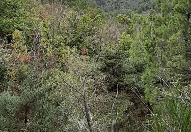
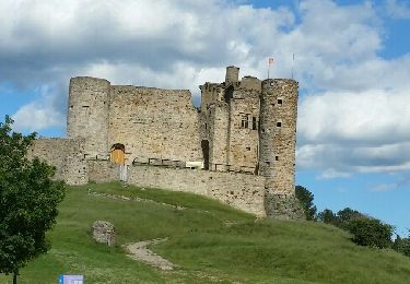
Randonnée Marche de 6,9 km à découvrir à Occitanie, Gard, Sainte-Cécile-d'Andorge. Cette randonnée est proposée par bernardgouttiere.
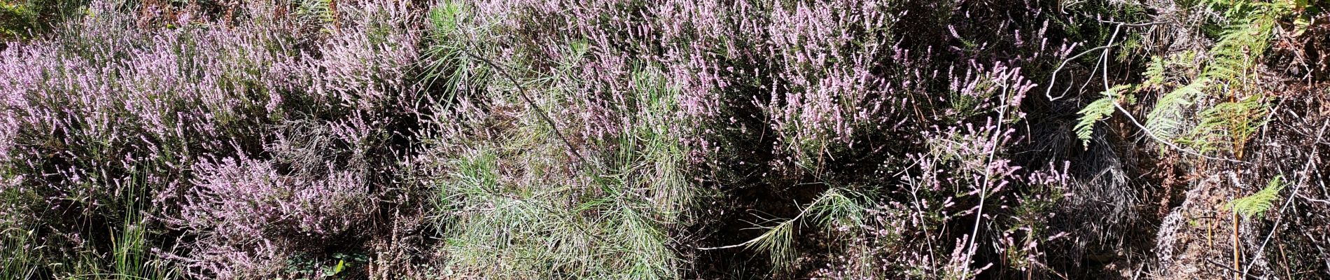
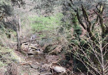
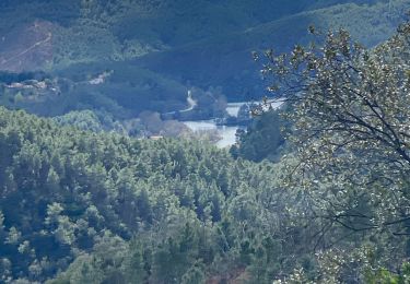
Sympathique et facile très belle vue

Marche
Marche
Marche
Marche
Autre activité

Marche
Marche
Marche