


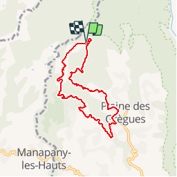

11,3 km | 22 km-effort


Utilisateur


Application GPS de randonnée GRATUITE
 SityTrail
IGN / Instituts géographiques
SityTrail World
Le monde est à vous
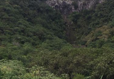
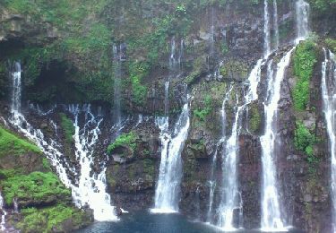
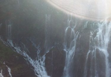
Randonnée Marche de 9,9 km à découvrir à La Réunion, Inconnu, Saint-Joseph. Cette randonnée est proposée par Fdum.
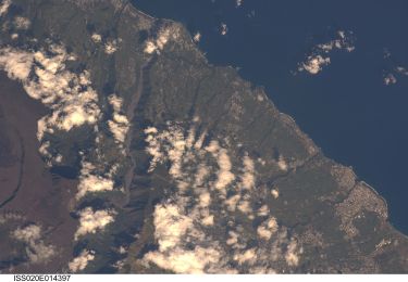
REUNION 2014
A pied

Marche
Marche
Marche
Marche
Marche
Marche
Marche
Marche
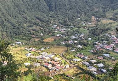
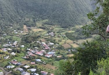
Doucement dans la descente. Dans le bourg, arrêtez-vous sur les araignées.