


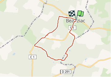

5,8 km | 7,1 km-effort

Utilisateur


Application GPS de randonnée GRATUITE
 SityTrail
IGN / Instituts géographiques
SityTrail World
Le monde est à vous
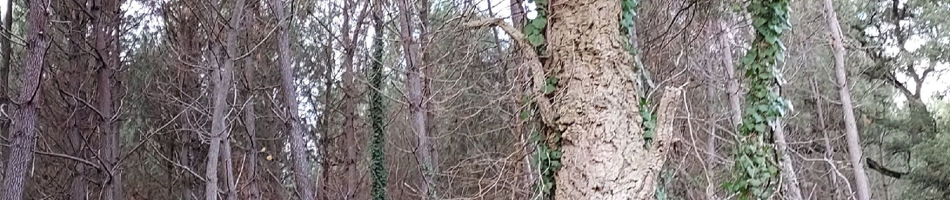
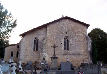
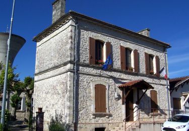
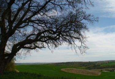
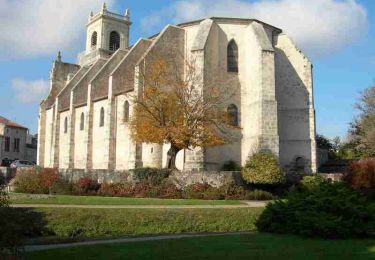
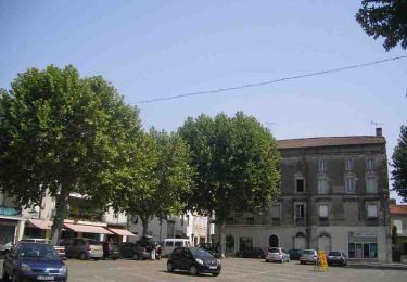
Randonnée Marche de 6,7 km à découvrir à Nouvelle-Aquitaine, Lot-et-Garonne, Beauziac. Cette randonnée est proposée par christiane01.


A pied
A pied
A pied
Vélo

V.T.T.
Marche

V.T.T.
Marche

4x4