


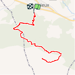

18,2 km | 28 km-effort


Utilisateur


Application GPS de randonnée GRATUITE
 SityTrail
IGN / Instituts géographiques
SityTrail World
Le monde est à vous
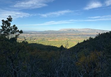
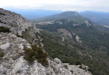
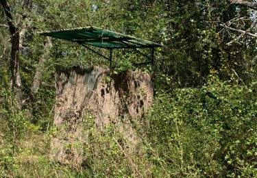
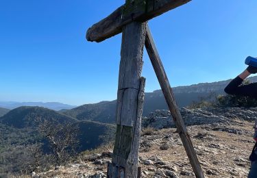
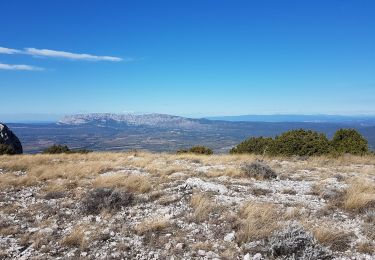
Randonnée Marche de 15,8 km à découvrir à Provence-Alpes-Côte d'Azur, Var, Pourcieux. Cette randonnée est proposée par coureurdegarrigue.
depuis pourcieux

Marche
Marche
Marche
Marche
Marche
Marche
Marche
Marche
Marche
Bon parcours, fait en 5h00 par de bons marcheurs.