


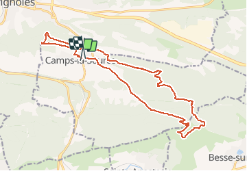

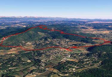
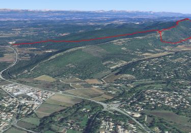
11,8 km | 17,6 km-effort

Utilisateur


Application GPS de randonnée GRATUITE
 SityTrail
IGN / Instituts géographiques
SityTrail World
Le monde est à vous
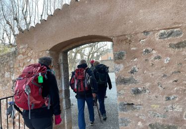
Randonnée Marche de 21 km à découvrir à Provence-Alpes-Côte d'Azur, Var, Camps-la-Source. Cette randonnée est proposée par Christiancordin.
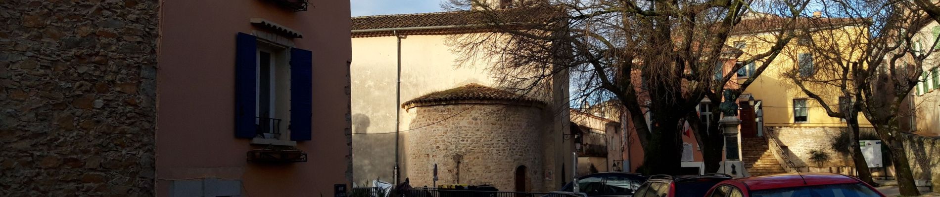
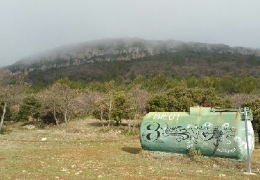
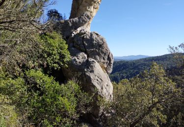
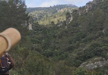
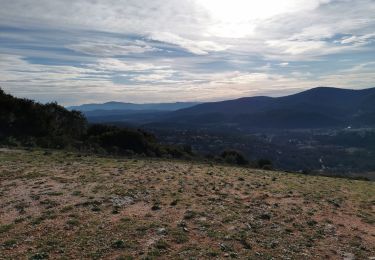
Camps la Source-rocher du Gueit-table d'orientation-théâtre de l'olive en plein air-chapelle St Sébastien-les châtaignier-chapelle St Quinis-route des oratoires.


Marche
Marche
Marche

sport
Marche
Marche
Marche
Marche
Marche